Collins Maps
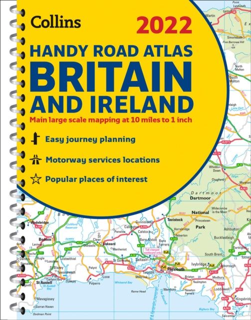
2022 Collins Handy Road Atlas Britain: A5 Spiral
2022 Collins Handy Road Atlas Britain: A5 Spiral
💎 Earn 21 Points (£0.21) on this item.
YOU SAVE £1.72
- Condition: Brand new
- UK Delivery times: Usually arrives within 2 - 3 working days
- UK Shipping: Fee starts at £2.39. Subject to product weight & dimension
Bulk ordering. Want 15 or more copies? Get a personalised quote and bigger discounts. Learn more about bulk orders.
Couldn't load pickup availability
- More about 2022 Collins Handy Road Atlas Britain: A5 Spiral
This road atlas is a handy tool for drivers, featuring clear route planning maps of Britain and Ireland and more detailed urban area maps. It includes main roads, motorways, and settlements, as well as Park & Ride locations and a distance calculator chart.
Format: Spiral bound
Length: 80 pages
Publication date: 10 June 2021
Publisher: HarperCollins Publishers
This comprehensive road atlas is a must-have for anyone who travels regularly in Britain and Ireland. With its easy-to-use, handy A5-sized format, it fits neatly into your glove box, briefcase, or bag, making it convenient for on-the-go navigation. The atlas features extremely clear route planning maps of both Britain and Ireland, with detailed coverage of major roads, motorways, and settlements.
In addition to the comprehensive road maps, the atlas includes more detailed maps of select urban areas, such as London, Manchester, Merseyside, and the West Midlands. These maps provide detailed information on local roads, landmarks, and transportation options, making it easier to plan your routes in these busy areas.
One of the standout features of this atlas is its inclusion of Park & Ride locations for bus and rail. These designated parking areas are located near major towns and cities, making it convenient for commuters to park their vehicles and catch public transportation to their destinations. The handy distance calculator chart also highlights distances between the major towns, making it easier to plan your journey and estimate travel time.
The atlas has been fully updated to reflect the latest road networks and infrastructure changes, ensuring that you have the most accurate and up-to-date information at your fingertips. Whether you're a frequent traveler, a local resident, or just exploring the beautiful landscapes of Britain and Ireland, this road atlas is an essential tool for your journey.
Weight: 136g
Dimension: 168 x 336 x 10 (mm)
ISBN-13: 9780008447830
Edition number: New ed
This item can be found in:
UK and International shipping information
UK and International shipping information
UK Delivery and returns information:
- Delivery within 2 - 3 days when ordering in the UK.
- Shipping fee for UK customers from £2.39. Fully tracked shipping service available.
- Returns policy: Return within 30 days of receipt for full refund.
International deliveries:
Shulph Ink now ships to Australia, Belgium, Canada, France, Germany, Ireland, Italy, India, Luxembourg Saudi Arabia, Singapore, Spain, Netherlands, New Zealand, United Arab Emirates, United States of America.
- Delivery times: within 5 - 10 days for international orders.
- Shipping fee: charges vary for overseas orders. Only tracked services are available for most international orders. Some countries have untracked shipping options.
- Customs charges: If ordering to addresses outside the United Kingdom, you may or may not incur additional customs and duties fees during local delivery.