Shulph Ink
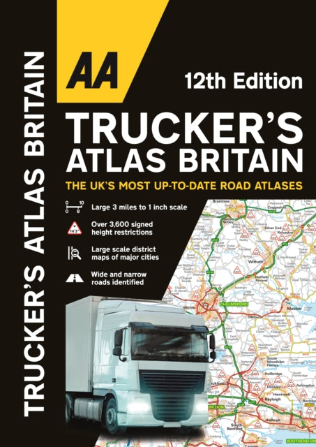
AA Trucker's Atlas Britain
AA Trucker's Atlas Britain
💎 Earn 65 Points (£0.65) on this item.
YOU SAVE £4.83
- Condition: Brand new
- UK Delivery times: Usually arrives within 2 - 3 working days
- UK Shipping: Fee starts at £2.39. Subject to product weight & dimension
Bulk ordering. Want 15 or more copies? Get a personalised quote and bigger discounts. Learn more about bulk orders.
Couldn't load pickup availability
- More about AA Trucker's Atlas Britain
The 2024 edition of the Truck & Freight Ferry Route Atlas includes truck and freight ferry routes, port plans, route planner maps, quick reference distance charts, and an explanatory list of restricted motorway junctions. It also features 12 pages of London street mapping with height, width, and weight restrictions, as well as large-scale district maps of London, Birmingham, Glasgow, Manchester, and Tyne & Wear. It emphasizes information of particular importance to truck drivers, such as over 3,600 bridge heights, narrow roads, road tunnels, toll roads, service areas, steep gradients, level crossings, and low emission zones. Additionally, a special feature in conjunction with Network Rails campaign provides useful information on preventing bridge strikes, making it an essential read for all truck drivers and other professionals in the haulage industry.
Format: Spiral bound
Length: 144 pages
Publication date: 26 October 2023
Publisher: AA Publishing
The 2024 edition of the Atlas of Restricted Motorway Junctions in the United Kingdom is a comprehensive guide for truck drivers and other professionals in the haulage industry. It includes truck and freight ferry routes and port plans, a route planner map, a quick reference distance chart, and an explanatory list of restricted motorway junctions. Additionally, there is a 12-page section of London street mapping with height, width, and weight restrictions clearly marked, as well as large-scale district maps of London, Birmingham, Glasgow, Manchester, and Tyne & Wear. Information of particular importance to truck drivers is emphasised on the mapping, which includes over 3,600 bridge heights, with the most frequently struck rail bridges highlighted. Roads less than 4 metres wide are distinguished, as well as road tunnels, toll roads, service areas, steep gradients, level crossings, and low emission zones. A special feature, in conjunction with Network Rail's campaign, provides useful information on the prevention of bridge strikes, an essential read for all truck drivers and other professionals in the haulage industry.
Weight: 768g
Dimension: 402 x 285 (mm)
ISBN-13: 9780749583583
Edition number: 12 New edition
This item can be found in:
UK and International shipping information
UK and International shipping information
UK Delivery and returns information:
- Delivery within 2 - 3 days when ordering in the UK.
- Shipping fee for UK customers from £2.39. Fully tracked shipping service available.
- Returns policy: Return within 30 days of receipt for full refund.
International deliveries:
Shulph Ink now ships to Australia, Belgium, Canada, France, Germany, Ireland, Italy, India, Luxembourg Saudi Arabia, Singapore, Spain, Netherlands, New Zealand, United Arab Emirates, United States of America.
- Delivery times: within 5 - 10 days for international orders.
- Shipping fee: charges vary for overseas orders. Only tracked services are available for most international orders. Some countries have untracked shipping options.
- Customs charges: If ordering to addresses outside the United Kingdom, you may or may not incur additional customs and duties fees during local delivery.