Maged Marghany
Advanced Remote Sensing Technology for Tsunami Modelling and Forecasting
Advanced Remote Sensing Technology for Tsunami Modelling and Forecasting
YOU SAVE £2.31
- Condition: Brand new
- UK Delivery times: Usually arrives within 2 - 3 working days
- UK Shipping: Fee starts at £2.39. Subject to product weight & dimension
Bulk ordering. Want 15 or more copies? Get a personalised quote and bigger discounts. Learn more about bulk orders.
Couldn't load pickup availability
- More about Advanced Remote Sensing Technology for Tsunami Modelling and Forecasting
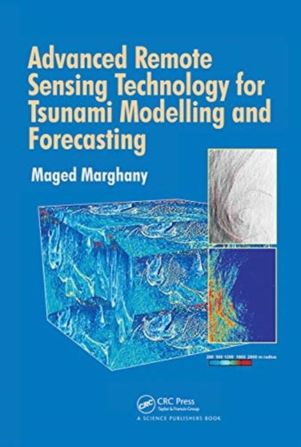
A new method for observing and monitoring tsunamis from space has been developed using modern physics, applied mathematics, signal communication, remote sensing data, and innovative space technologies. This book provides readers with the knowledge to create a better alarm warning system.
Format: Paperback / softback
Length: 302 pages
Publication date: 31 March 2021
Publisher: Taylor & Francis Ltd
The groundbreaking advancements in space technologies have paved the way for a novel approach to observing and tracking tsunamis from space. While most tsunami remote sensing studies rely on traditional image processing tools or conventional edge detection procedures, these methods fail to leverage modern physics, applied mathematics, signal communication, remote sensing data, and innovative space technologies. This comprehensive book aims to equip readers with the knowledge and skills necessary to monitor tsunamis from space using remote sensing technology, ultimately enabling the development of a more effective alarm warning system.
The traditional methods of tsunami remote sensing have limitations in capturing the full extent of tsunami events. They often rely on single-source or limited-angle images, which can miss important details and provide an incomplete picture of the disaster. Moreover, these methods are time-consuming and require extensive manual analysis, making them impractical for real-time monitoring and rapid response.
In contrast, remote sensing technology using modern physics, applied mathematics, signal communication, remote sensing data, and innovative space technologies offers a more comprehensive and efficient approach to monitoring tsunamis. By leveraging satellite imagery, radar data, and other sensors, researchers can obtain high-resolution and timely information about tsunamis, allowing for early detection, accurate estimation of the extent of damage, and rapid response to mitigate the impact of the disaster.
One of the key advantages of remote sensing technology in tsunami monitoring is its ability to provide real-time data. Satellites can continuously monitor the ocean and detect changes in water levels, which can be an early indicator of a tsunami event. This information can be relayed to disaster response teams and authorities in real-time, enabling them to take immediate action and save lives.
Another advantage of remote sensing technology is its ability to cover large areas and provide a comprehensive view of the disaster. Traditional methods of monitoring tsunamis are limited by the availability of ground-based sensors and the limitations of human observation. However, satellites can provide a bird's-eye view of the ocean, allowing researchers to monitor tsunamis across vast distances and identify areas that may be affected by the disaster.
Remote sensing technology also has the potential to improve the accuracy of tsunami predictions. By analyzing historical data and patterns, researchers can develop models that can predict the likelihood and intensity of future tsunami events. This information can be used to develop evacuation plans, alert communities, and deploy emergency resources more effectively.
However, the use of remote sensing technology in tsunami monitoring also presents challenges. One of the main challenges is the quality and reliability of the data. Satellite imagery and other sensors can be affected by weather conditions, atmospheric interference, and other factors, which can lead to errors in the data. Additionally, the interpretation of remote sensing data can be subjective and may vary depending on the expertise and training of the researchers.
To address these challenges, it is important to invest in advanced remote sensing technologies and develop robust data analysis and interpretation methods. This includes the use of machine learning algorithms, artificial intelligence, and other advanced techniques to improve the accuracy and reliability of remote sensing data. It also involves collaboration between researchers, governments, and disaster response teams to ensure that the data is used effectively and that the response to tsunamis is coordinated and efficient.
In conclusion, the innovation in space technologies has opened up a new avenue for monitoring and tracking tsunamis from space. While traditional methods of remote sensing have limitations, the use of modern physics, applied mathematics, signal communication, remote sensing data, and innovative space technologies offers a more comprehensive and efficient approach to monitoring tsunamis. By leveraging satellite imagery, radar data, and other sensors, researchers can obtain high-resolution and timely information about tsunamis, allowing for early detection, accurate estimation of the extent of damage, and rapid response to mitigate the impact of the disaster. However, the use of remote sensing technology also presents challenges, and it is important to invest in advanced technologies and develop robust data analysis and interpretation methods to ensure that the data is used effectively and that the response to tsunamis is coordinated and efficient.
Weight: 585g
Dimension: 254 x 178 (mm)
ISBN-13: 9780367781118
This item can be found in:
UK and International shipping information
UK and International shipping information
UK Delivery and returns information:
- Delivery within 2 - 3 days when ordering in the UK.
- Shipping fee for UK customers from £2.39. Fully tracked shipping service available.
- Returns policy: Return within 30 days of receipt for full refund.
International deliveries:
Shulph Ink now ships to Australia, Belgium, Canada, France, Germany, Ireland, Italy, India, Luxembourg Saudi Arabia, Singapore, Spain, Netherlands, New Zealand, United Arab Emirates, United States of America.
- Delivery times: within 5 - 10 days for international orders.
- Shipping fee: charges vary for overseas orders. Only tracked services are available for most international orders. Some countries have untracked shipping options.
- Customs charges: If ordering to addresses outside the United Kingdom, you may or may not incur additional customs and duties fees during local delivery.


