Shulph Ink
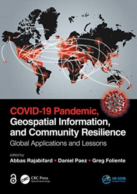
COVID-19 Pandemic, Geospatial Information, and Community Resilience: Global Applications and Lessons
COVID-19 Pandemic, Geospatial Information, and Community Resilience: Global Applications and Lessons
YOU SAVE £8.40
- Condition: Brand new
- UK Delivery times: Usually arrives within 2 - 3 working days
- UK Shipping: Fee starts at £2.39. Subject to product weight & dimension
Bulk ordering. Want 15 or more copies? Get a personalised quote and bigger discounts. Learn more about bulk orders.
Couldn't load pickup availability
- More about COVID-19 Pandemic, Geospatial Information, and Community Resilience: Global Applications and Lessons
Geospatial data is crucial for managing pandemics like Covid-19, enabling tracking of population trajectories, behavior modeling, and simulation, and facilitating community prevention, surveillance, and risk assessment.
\n Format: Hardback
\n Length: 558 pages
\n Publication date: 08 June 2021
\n Publisher: Taylor & Francis Ltd
\n
Here is the rephrased text:
Geospatial data plays a crucial role in managing pandemics, particularly in the context of the COVID-19 pandemic. This data encompasses a wide range of information, including location, coordinates, and demographic details, which can be used to track the spread of the virus, identify hotspots, and implement targeted prevention and control measures.
COVID-19 has highlighted the importance of location intelligence in managing pandemics. Location intelligence refers to the use of geographic information systems (GIS) and other technologies to analyze and understand the spatial distribution of people, objects, and events. By leveraging location intelligence, public health officials can better understand the patterns of disease transmission, identify areas at high risk of infection, and develop targeted interventions to prevent the spread of the virus.
One of the key challenges in managing pandemics is tracking the movement of large populations. Geospatial data can be used to track the trajectory of populations over time, allowing public health officials to identify areas where the virus is spreading rapidly and take appropriate action. For example, during the COVID-19 pandemic, governments used geospatial data to track the movement of people and implement travel restrictions and social distancing measures to prevent the spread of the virus.
Population behavior modeling and simulation are also important tools in managing pandemics. These tools can help public health officials understand how people interact with their environment and how this interaction can affect the spread of the virus. By modeling the behavior of individuals and communities, public health officials can develop targeted interventions to prevent the spread of the virus.
Location-based services (LBS) are another technology that can be used to integrate community prevention, surveillance, and risk assessment. LBS refers to the use of mobile devices and other technologies to provide location-based information and services to individuals and communities. By leveraging LBS, public health officials can monitor the movement of individuals and identify areas where the virus is spreading rapidly. They can also provide individuals with real-time information about the risk of infection in their area, allowing them to take appropriate precautions.
In conclusion, geospatial data plays a crucial role in managing pandemics, particularly in the context of the COVID-19 pandemic. By leveraging location intelligence, population behavior modeling and simulation, and location-based services, public health officials can better understand the patterns of disease transmission, identify areas at high risk of infection, and develop targeted interventions to prevent the spread of the virus.
\n Weight: 1264g\n
Dimension: 180 x 254 x 36 (mm)\n
ISBN-13: 9780367775315\n \n
This item can be found in:
UK and International shipping information
UK and International shipping information
UK Delivery and returns information:
- Delivery within 2 - 3 days when ordering in the UK.
- Shipping fee for UK customers from £2.39. Fully tracked shipping service available.
- Returns policy: Return within 30 days of receipt for full refund.
International deliveries:
Shulph Ink now ships to Australia, Belgium, Canada, France, Germany, Ireland, Italy, India, Luxembourg Saudi Arabia, Singapore, Spain, Netherlands, New Zealand, United Arab Emirates, United States of America.
- Delivery times: within 5 - 10 days for international orders.
- Shipping fee: charges vary for overseas orders. Only tracked services are available for most international orders. Some countries have untracked shipping options.
- Customs charges: If ordering to addresses outside the United Kingdom, you may or may not incur additional customs and duties fees during local delivery.


