A-Z Maps
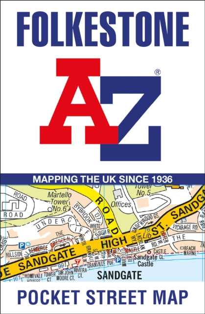
Folkestone A-Z Pocket Street Map
Folkestone A-Z Pocket Street Map
💎 Earn 14 Points (£0.14) on this item.
YOU SAVE £1.05
- Condition: Brand new
- UK Delivery times: Usually arrives within 2 - 3 working days
- UK Shipping: Fee starts at £2.39. Subject to product weight & dimension
Bulk ordering. Want 15 or more copies? Get a personalised quote and bigger discounts. Learn more about bulk orders.
Couldn't load pickup availability
- More about Folkestone A-Z Pocket Street Map
This A-Z street map includes all of the 1,500 streets in and around Folkestone, with detailed coverage of an area extending from Hawkinge to Sandgate in the south, and from East Wear Bay to Newington in the west. It also features postcode districts, one-way streets, car parks, places of interest, and a handy index to streets, places of interest, place and area names, park and ride sites, national rail stations, hospitals, and hospices.
Format: Sheet map, folded
Length: 2 pages
Publication date: 16 March 2023
Publisher: HarperCollins Publishers
Folkestone, a vibrant coastal town nestled in the Kent countryside, boasts a rich history and a picturesque landscape. Whether you're a local or a visitor, navigating through the streets of Folkestone can be a breeze with the help of detailed street maps from A-Z. This up-to-date and folded A-Z street map encompasses all 1,500 streets within and around Folkestone, providing comprehensive coverage of the area. From Hawkinge in the south to Sandgate in the east, and from East Wear Bay in the east to Newington in the west, this map offers detailed insights into the diverse neighborhoods and attractions of Folkestone.
One of the key features of this map is its extensive coverage of postcode districts, one-way streets, and car parks. This information is invaluable for residents and visitors alike, as it helps them plan their routes efficiently and avoid any potential traffic congestion. Additionally, the map includes a comprehensive index to streets, places of interest, place and area names, park and ride sites, national rail stations, hospitals, and hospices. This index makes it easy to locate specific addresses or landmarks, making navigation even more convenient.
With clear mapping on a scale of 5.5 inches to 1 mile, this map is designed to provide a comprehensive view of Folkestone. The streets are labeled clearly, and the landmarks and attractions are highlighted to make them easier to spot. Whether you're exploring the historic harbor, visiting the museums, or simply enjoying a stroll along the beach, this map is your trusty companion.
In conclusion, if you're planning to visit or explore Folkestone, having a detailed street map from A-Z is essential. This map offers comprehensive coverage of the town, including postcode districts, one-way streets, car parks, places of interest, and more. With clear mapping and a handy index, it's the perfect reference tool for finding your way around Folkestone and enjoying all that this vibrant coastal town has to offer.
Weight: 42g
Dimension: 140 x 90 x 19 (mm)
ISBN-13: 9780008560539
This item can be found in:
UK and International shipping information
UK and International shipping information
UK Delivery and returns information:
- Delivery within 2 - 3 days when ordering in the UK.
- Shipping fee for UK customers from £2.39. Fully tracked shipping service available.
- Returns policy: Return within 30 days of receipt for full refund.
International deliveries:
Shulph Ink now ships to Australia, Belgium, Canada, France, Germany, Ireland, Italy, India, Luxembourg Saudi Arabia, Singapore, Spain, Netherlands, New Zealand, United Arab Emirates, United States of America.
- Delivery times: within 5 - 10 days for international orders.
- Shipping fee: charges vary for overseas orders. Only tracked services are available for most international orders. Some countries have untracked shipping options.
- Customs charges: If ordering to addresses outside the United Kingdom, you may or may not incur additional customs and duties fees during local delivery.