Collins Maps
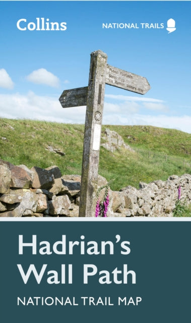
Hadrian's Wall Path National Trail Map
Hadrian's Wall Path National Trail Map
💎 Earn 25 Points (£0.25) on this item.
YOU SAVE £1.88
- Condition: Brand new
- UK Delivery times: Usually arrives within 2 - 3 working days
- UK Shipping: Fee starts at £2.39. Subject to product weight & dimension
Bulk ordering. Want 15 or more copies? Get a personalised quote and bigger discounts. Learn more about bulk orders.
Couldn't load pickup availability
- More about Hadrian's Wall Path National Trail Map
This planning map and guide provide a comprehensive overview of Hadrian's Wall, including over 20 highlighted places of interest, a comprehensive index, a clear route, safety and security advice, and is part of the National Trail network. It covers 84 miles (135 km) along the line of Hadrian's Wall from Newcastle to Bowness-on-Solway and weaves through beautiful countryside, encountering historic remains of Roman forts and milecastles, and splendid bridges.
Format: Sheet map, folded
Publication date: 16 February 2023
Publisher: HarperCollins Publishers
Discover the wonders of Hadrian's Wall with this comprehensive planning map! Packed with over 20 highlighted places of interest, including the Vindolanda archaeological site, Chesters Roman fort, and Steel Rigg viewpoint, this map is your ultimate guide to exploring this historic landmark. With detailed descriptions and stunning photographs, you'll gain a deeper understanding of the wall's rich history and significance.
But that's not all! This planning map also features a comprehensive index to over 400 cities, towns, and villages along the route, making it easy to plan your accommodations and transportation. The clear, visible route is plotted across the map, ensuring you stay on track and make the most of your adventure.
Safety and security are of utmost importance when traveling along the route, and this map provides valuable advice on how to stay safe and respectful of the local environment. Additionally, you'll find the countryside code and the code of conduct, which are essential for responsible travel and preserving the beauty of the countryside.
Part of the National Trail network, Hadrian's Wall is a long-distance footpath that stretches 84 miles (135 km) along the line of the wall from coast to coast. Starting in Wallsend in Newcastle and ending in Bowness-on-Solway, this path weaves through breathtaking countryside, encountering historic remains of Roman forts and milecastles, and splendid bridges.
To make your journey even easier, we've included a suggested walking itinerary. This itinerary takes you through the highlights of the wall, allowing you to experience its beauty and significance at your own pace.
So whether you're a history enthusiast, a nature lover, or simply looking for an unforgettable adventure, this planning map is your ticket to exploring the wonders of Hadrian's Wall. Get ready to embark on an unforgettable journey!
Weight: 60g
Dimension: 198 x 115 x 4 (mm)
ISBN-13: 9780008602987
This item can be found in:
UK and International shipping information
UK and International shipping information
UK Delivery and returns information:
- Delivery within 2 - 3 days when ordering in the UK.
- Shipping fee for UK customers from £2.39. Fully tracked shipping service available.
- Returns policy: Return within 30 days of receipt for full refund.
International deliveries:
Shulph Ink now ships to Australia, Belgium, Canada, France, Germany, Ireland, Italy, India, Luxembourg Saudi Arabia, Singapore, Spain, Netherlands, New Zealand, United Arab Emirates, United States of America.
- Delivery times: within 5 - 10 days for international orders.
- Shipping fee: charges vary for overseas orders. Only tracked services are available for most international orders. Some countries have untracked shipping options.
- Customs charges: If ordering to addresses outside the United Kingdom, you may or may not incur additional customs and duties fees during local delivery.