Susan Ahmadi Hansen
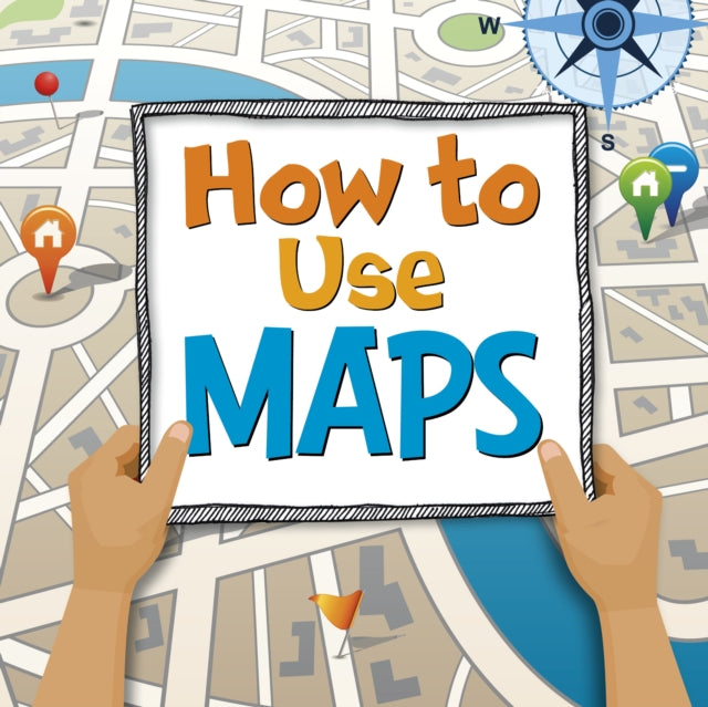
How to Use Maps
How to Use Maps
💎 Earn 62 Points (£0.62) on this item.
YOU SAVE £0.52
- Condition: Brand new
- UK Delivery times: Usually arrives within 2 - 3 working days
- UK Shipping: Fee starts at £2.39. Subject to product weight & dimension
Bulk ordering. Want 15 or more copies? Get a personalised quote and bigger discounts. Learn more about bulk orders.
Couldn't load pickup availability
- More about How to Use Maps
Maps can provide information and help solve problems, such as how long it takes to drive from London to Manchester, the shortest route to a picnic, and how to get around a big park without getting lost. This introduction to using maps will help kids build visual literacy skills and navigate their world.
Format: Hardback
Length: 24 pages
Publication date: 22 June 2023
Publisher: Capstone Global Library Ltd
{URL}>
How long is the drive from London to Manchester?
The distance between London and Manchester is approximately 240 miles (386 km). Depending on the traffic conditions and the chosen route, the driving time can vary from around 3 hours to over 4 hours.
What s the shortest route to the picnic?
The shortest route to the picnic depends on the location of the picnic spot and your starting point. Using a map or GPS navigation system can help you find the most direct route to your destination.
How can you get around a big park without getting lost?
Maps can be a valuable tool for getting around a big park without getting lost. You can use a park map to plan your route, identify landmarks, and locate amenities such as restrooms and parking. Additionally, you can use a compass or GPS device to navigate your way around the park.
Discover the many ways maps can provide information and help solve problems.
Maps can provide a wealth of information and help solve a variety of problems. For example, maps can be used to plan a trip, track weather patterns, and analyze data. Maps can also be used to communicate information, such as directions, warnings, and emergency information.
This first introduction to using maps will help kids build visual literacy skills and navigate their world.
Using maps can be a fun and engaging way for kids to learn about the world around them. By building visual literacy skills and navigating their world, kids can become more confident and independent.
Weight: 236g
Dimension: 209 x 205 x 11 (mm)
ISBN-13: 9781398248281
This item can be found in:
UK and International shipping information
UK and International shipping information
UK Delivery and returns information:
- Delivery within 2 - 3 days when ordering in the UK.
- Shipping fee for UK customers from £2.39. Fully tracked shipping service available.
- Returns policy: Return within 30 days of receipt for full refund.
International deliveries:
Shulph Ink now ships to Australia, Belgium, Canada, France, Germany, Ireland, Italy, India, Luxembourg Saudi Arabia, Singapore, Spain, Netherlands, New Zealand, United Arab Emirates, United States of America.
- Delivery times: within 5 - 10 days for international orders.
- Shipping fee: charges vary for overseas orders. Only tracked services are available for most international orders. Some countries have untracked shipping options.
- Customs charges: If ordering to addresses outside the United Kingdom, you may or may not incur additional customs and duties fees during local delivery.