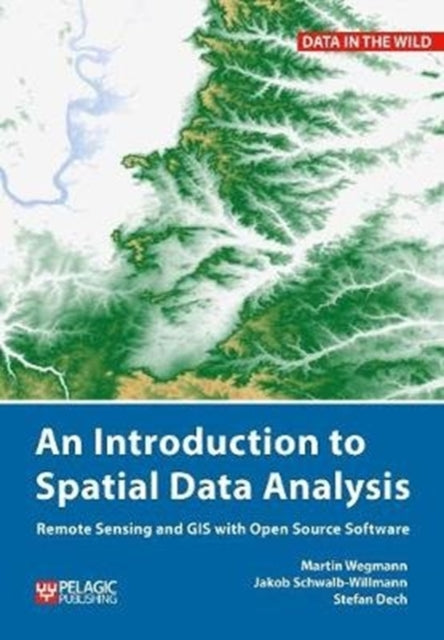
Martin Wegmann,Jakob Schwalb-Willmann,Stefan Dech
Introduction to Spatial Data Analysis: Remote Sensing and GIS with Open Source Software
Introduction to Spatial Data Analysis: Remote Sensing and GIS with Open Source Software
- Condition: Brand new
- UK Delivery times: Usually arrives within 2 - 3 working days
- UK Shipping: Fee starts at £2.39. Subject to product weight & dimension
Bulk ordering. Want 15 or more copies? Get a personalised quote and bigger discounts. Learn more about bulk orders.
Couldn't load pickup availability
- More about Introduction to Spatial Data Analysis: Remote Sensing and GIS with Open Source Software
This book is about how ecologists can integrate remote sensing and GIS in their research. It covers all necessary steps from planning field campaigns to deriving ecologically relevant information through remote sensing and modelling of species distributions.
Format: Paperback / softback
Length: 222 pages
Publication date: 07 September 2020
Publisher: Pelagic Publishing
This comprehensive guidebook is designed to assist ecologists in effectively integrating remote sensing and GIS into their research endeavors. By providing a comprehensive introduction to the application of remote sensing and its potential limitations, readers will gain a solid foundation for exploring this cutting-edge field.
The book begins by introducing spatial data handling using the open-source software Quantum GIS (QGIS). Readers will be guided through their first steps in the R programming language, empowering them to turn data acquired in the field into actual spatial data. The authors explain the fundamentals of spatial data handling and analysis, enabling readers to process and analyze spatial data of various types and interpret the data and results.
After completing this book, readers will be well-equipped to address questions such as "What is the distance to the border of the protected area?" "Which points are located close to a road?" and "Which fraction of land cover types exist in my study area?" using a range of software and techniques.
This book is particularly valuable for novice spatial data users who do not possess prior knowledge of spatial data or practical experience working with such data sets. It serves as a valuable resource for students and professional ecologists, geographers, environmental scientists, and practitioners who require the collection, visualization, and analysis of spatial data.
The software utilized in this book is the widely applied open-source scientific programs QGIS and R. All scripts and data sets used in the book will be provided online at book.ecosens.org, ensuring easy access and convenience for readers.
In addition to covering specific methods, the book also delves into important considerations before collecting remote sensing data. It discusses the importance of selecting appropriate sensors, defining the study area, and selecting appropriate sampling strategies. By addressing these critical aspects, readers will be better equipped to gather high-quality data that can support their research objectives.
Furthermore, the book explores various remote sensing techniques, including satellite imagery, aerial photographs, and ground-based sensors. Readers will learn how to extract relevant information from these data sources, such as land cover, vegetation density, and soil properties. The authors also discuss the challenges associated with remote sensing data, such as data quality, resolution, and accuracy, and provide strategies for addressing these issues.
Throughout the book, practical examples are used to illustrate the application of remote sensing and GIS in ecological research. These examples cover a range of topics, including habitat mapping, species distribution modeling, and monitoring environmental change. By showcasing real-world applications, readers will gain a deeper understanding of the practical benefits and limitations of remote sensing and GIS in ecological research.
In conclusion, An Introduction to Spatial Data Analysis is a comprehensive and practical guidebook that empowers ecologists to integrate remote sensing and GIS into their research. By providing a solid foundation in spatial data handling and analysis, readers will gain the skills and knowledge necessary to turn data into valuable insights and make informed decisions about ecological conservation and management. Whether you are a novice or an experienced researcher, this book is an essential resource for anyone interested in exploring the potential of remote sensing and GIS in ecological research.
Weight: 462g
Dimension: 170 x 242 x 13 (mm)
ISBN-13: 9781784272135
This item can be found in:
UK and International shipping information
UK and International shipping information
UK Delivery and returns information:
- Delivery within 2 - 3 days when ordering in the UK.
- Shipping fee for UK customers from £2.39. Fully tracked shipping service available.
- Returns policy: Return within 30 days of receipt for full refund.
International deliveries:
Shulph Ink now ships to Australia, Belgium, Canada, France, Germany, Ireland, Italy, India, Luxembourg Saudi Arabia, Singapore, Spain, Netherlands, New Zealand, United Arab Emirates, United States of America.
- Delivery times: within 5 - 10 days for international orders.
- Shipping fee: charges vary for overseas orders. Only tracked services are available for most international orders. Some countries have untracked shipping options.
- Customs charges: If ordering to addresses outside the United Kingdom, you may or may not incur additional customs and duties fees during local delivery.


