Shulph Ink
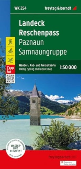
Landeck - Reschenpass Hiking, Cycling & Leisure Map
Landeck - Reschenpass Hiking, Cycling & Leisure Map
💎 Earn 51 Points (£0.51) on this item.
YOU SAVE £2.68
- Condition: Brand new
- UK Delivery times: Usually arrives within 2 - 3 working days
- UK Shipping: Fee starts at £2.39. Subject to product weight & dimension
Bulk ordering. Want 15 or more copies? Get a personalised quote and bigger discounts. Learn more about bulk orders.
Couldn't load pickup availability
- More about Landeck - Reschenpass Hiking, Cycling & Leisure Map
Freytag & Berndt hiking maps are essential for outdoor enthusiasts, providing detailed digital cartography, precise scales, and updated information on hiking trails, cycling and mountain bike routes, huts, natural monuments, cultural attractions, and leisure facilities. They include a selection of the best trails, cycle paths, and mountain bike routes, as well as a brief description of the individual communities and their leisure activities.
Format: Sheet map, folded
Length: 1 pages
Publication date: 15 May 2024
Publisher: Freytag-Berndt
Freytag & Berndt hiking maps are essential companions for outdoor enthusiasts, providing detailed digital cartography and precise scales. Regularly revised, these maps offer updated information on hiking trails, cycling and mountain bike routes, huts, natural monuments, cultural attractions, and leisure facilities. The accompanying information booklet includes a selection of the best hiking trails, cycle paths, and mountain bike routes, along with brief descriptions of the individual communities and their leisure activities. The maps cover various regions, including the Upper Inn Valley, Samnaun, Paznaun, Tyrol, Vorarlberg, Graubunden, and Switzerland, and feature special themed hiking trails such as the Northern Alpine Trail, Central Alpine Trail, St. James Way, Via Alpina, Eagle Trail, Via Claudia Augusta, Wassertalweg to Gfrans, and Madleinsee. Additionally, the maps offer specialized cycling and mountain bike tours, such as the Bike Trail Tyrol, Stanzertal cycle path, Inn cycle path, Via Claudia Augusta cycle path, Paznauner Talweg, Zeblasjoch tour, and Medrigalp downhill. With GPS compatibility and UTM, these maps are invaluable tools for outdoor enthusiasts seeking adventure and exploration in the stunning landscapes of the Alps.
Weight: 104g
Dimension: 208 x 111 x 8 (mm)
ISBN-13: 9783707923421
This item can be found in:
UK and International shipping information
UK and International shipping information
UK Delivery and returns information:
- Delivery within 2 - 3 days when ordering in the UK.
- Shipping fee for UK customers from £2.39. Fully tracked shipping service available.
- Returns policy: Return within 30 days of receipt for full refund.
International deliveries:
Shulph Ink now ships to Australia, Belgium, Canada, France, Germany, Ireland, Italy, India, Luxembourg Saudi Arabia, Singapore, Spain, Netherlands, New Zealand, United Arab Emirates, United States of America.
- Delivery times: within 5 - 10 days for international orders.
- Shipping fee: charges vary for overseas orders. Only tracked services are available for most international orders. Some countries have untracked shipping options.
- Customs charges: If ordering to addresses outside the United Kingdom, you may or may not incur additional customs and duties fees during local delivery.