Shulph Ink
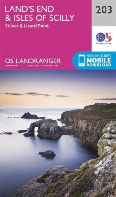
folded,Land's End & Isles of Scilly: St Ives & Lizard Point
folded,Land's End & Isles of Scilly: St Ives & Lizard Point
💎 Earn 47 Points (£0.47) on this item.
YOU SAVE £3.49
- Condition: Brand new
- UK Delivery times: Usually arrives within 2 - 3 working days
- UK Shipping: Fee starts at £2.39. Subject to product weight & dimension
Bulk ordering. Want 15 or more copies? Get a personalised quote and bigger discounts. Learn more about bulk orders.
Couldn't load pickup availability
- More about folded,Land's End & Isles of Scilly: St Ives & Lizard Point
The OS Landranger Map series covers Great Britain with 204 detailed maps, ideal for day trips and short breaks. It includes places of interest, tourist information, picnic areas, and camp sites, as well as Rights of Way information for England and Wales.
\n Format: Sheet map, folded
\n \n Publication date: 17 September 2020
\n Publisher: Ordnance Survey
\n
The OS Landranger Map series is an extensive collection of 204 detailed maps that encompass Great Britain, making it an invaluable resource for day trips and short breaks. Each map in this series offers a comprehensive overview of the local area, providing all the necessary information to explore and familiarize oneself with the surroundings. Whether you're planning a hiking adventure, a scenic drive, or simply a leisurely stroll, these maps are your guide to discovering the hidden gems of Great Britain.
One of the key features of the OS Landranger Maps is the wealth of information they contain. Each map includes detailed annotations and illustrations that highlight places of interest, tourist attractions, picnic areas, camp sites, and Rights of Way information for England and Wales. This comprehensive coverage ensures that you have all the necessary details at your fingertips, enabling you to plan your activities with ease and efficiency.
In addition to the paper maps, the OS Landranger series also offers a digital version that can be accessed through the OS smartphone app, OS Maps. This digital version provides the same level of detail and functionality as the paper maps, allowing you to explore the terrain and plan your routes with precision. The app also offers additional features such as offline access, interactive overlays, and real-time navigation, making it an essential tool for outdoor enthusiasts and adventurers alike.
Whether you're a seasoned explorer or a newcomer to the world of outdoor activities, the OS Landranger Map series is an indispensable resource for your adventures in Great Britain. With its detailed maps, comprehensive information, and digital accessibility, these maps are the perfect companion for anyone who wants to discover the beauty and diversity of the British countryside. So why wait? Start planning your next adventure today with the OS Landranger Map series!
\n Weight: 102g\n
Dimension: 134 x 227 x 46 (mm)\n
ISBN-13: 9780319263952\n \n
This item can be found in:
UK and International shipping information
UK and International shipping information
UK Delivery and returns information:
- Delivery within 2 - 3 days when ordering in the UK.
- Shipping fee for UK customers from £2.39. Fully tracked shipping service available.
- Returns policy: Return within 30 days of receipt for full refund.
International deliveries:
Shulph Ink now ships to Australia, Belgium, Canada, France, Germany, Ireland, Italy, India, Luxembourg Saudi Arabia, Singapore, Spain, Netherlands, New Zealand, United Arab Emirates, United States of America.
- Delivery times: within 5 - 10 days for international orders.
- Shipping fee: charges vary for overseas orders. Only tracked services are available for most international orders. Some countries have untracked shipping options.
- Customs charges: If ordering to addresses outside the United Kingdom, you may or may not incur additional customs and duties fees during local delivery.