Shulph Ink
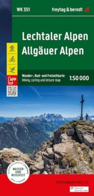
Lechtaler Alpen - Allgauer Alpen Hiking, Cycling & Leisure Map
Lechtaler Alpen - Allgauer Alpen Hiking, Cycling & Leisure Map
💎 Earn 51 Points (£0.51) on this item.
YOU SAVE £2.68
- Condition: Brand new
- UK Delivery times: Usually arrives within 2 - 3 working days
- UK Shipping: Fee starts at £2.39. Subject to product weight & dimension
Bulk ordering. Want 15 or more copies? Get a personalised quote and bigger discounts. Learn more about bulk orders.
Couldn't load pickup availability
- More about Lechtaler Alpen - Allgauer Alpen Hiking, Cycling & Leisure Map
Freytag & Berndt hiking maps are essential for hiking, mountaineering, and ski tours, providing detailed digital cartography and precise scales. The WK 351 Lechtal Alps - Allgau Alps hiking map 1:50,000 is regularly revised and contains updated information on hiking trails, cycling and mountain bike routes, huts, natural monuments, cultural sights, and leisure facilities. It includes a selection of the best hiking trails, cycle paths, and mountain bike routes, as well as a brief description of the individual communities and their leisure activities.
Format: Sheet map, folded
Length: 1 pages
Publication date: 15 May 2024
Publisher: Freytag-Berndt
Freytag & Berndt hiking maps are essential companions for outdoor enthusiasts, offering detailed digital cartography and precise scales. The WK 351 Lechtal Alps - Allgau Alps hiking map 1:50,000 is regularly revised and provides up-to-date information on hiking trails, cycling and mountain bike routes, huts, natural monuments, cultural sights, and leisure facilities. The accompanying information booklet includes a selection of the best hiking trails, cycle paths, and mountain bike routes, along with brief descriptions of the individual communities and their leisure activities.
The map covers the Lechtal Alps, Lechtal, Oberinntal, and Tyrol regions in Germany, and includes long-distance hiking trails and special themed hiking trails such as the E4, E5, Nordalpenweg, Jakobsweg, Adlerweg, Via Alpina, Lechweg, Via Claudia Augusta, Holzgau-Steeg circular hike, Memminger Hutte, Parseierspitze. Special cycle and mountain bike tours include the Inn cycle path (Inntal cycle path), Lech cycle path, Bike Trail Tirol, Via Claudia Augusta cycle route, Stanzertal cycle path, Falterschein circuit, and Martinau high-altitude circular route. Environment maps such as WK 251, WK 254, WK 352, WK 364, and WK 374 are also included.
Freytag & Berndt hiking maps are designed to be GPS compatible, making it easy to navigate and locate your way. They also include via ferrata, ski route, cross-country ski route, and Nordic walking route, providing a wide range of outdoor activities for enthusiasts of all levels. Whether you're a seasoned hiker, mountaineer, or ski tourer, Freytag & Berndt hiking maps are a valuable resource for planning your outdoor adventures.
Weight: 102g
Dimension: 219 x 113 x 8 (mm)
ISBN-13: 9783707923438
This item can be found in:
UK and International shipping information
UK and International shipping information
UK Delivery and returns information:
- Delivery within 2 - 3 days when ordering in the UK.
- Shipping fee for UK customers from £2.39. Fully tracked shipping service available.
- Returns policy: Return within 30 days of receipt for full refund.
International deliveries:
Shulph Ink now ships to Australia, Belgium, Canada, France, Germany, Ireland, Italy, India, Luxembourg Saudi Arabia, Singapore, Spain, Netherlands, New Zealand, United Arab Emirates, United States of America.
- Delivery times: within 5 - 10 days for international orders.
- Shipping fee: charges vary for overseas orders. Only tracked services are available for most international orders. Some countries have untracked shipping options.
- Customs charges: If ordering to addresses outside the United Kingdom, you may or may not incur additional customs and duties fees during local delivery.