PinliangDong,Qi Chen
LiDAR Remote Sensing and Applications
LiDAR Remote Sensing and Applications
YOU SAVE £4.47
- Condition: Brand new
- UK Delivery times: Usually arrives within 2 - 3 working days
- UK Shipping: Fee starts at £2.39. Subject to product weight & dimension
Bulk ordering. Want 15 or more copies? Get a personalised quote and bigger discounts. Learn more about bulk orders.
Couldn't load pickup availability
- More about LiDAR Remote Sensing and Applications
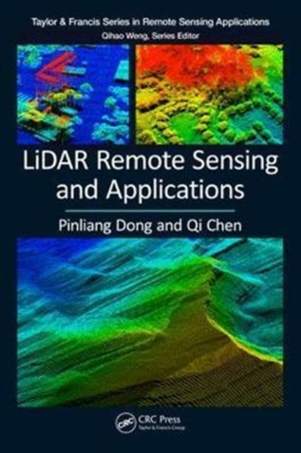
LiDAR Remote Sensing and Applications is a comprehensive textbook that covers LiDAR principles, data processing, applications, and hands-on practices. It includes data from 27 areas worldwide and 11 step-by-step projects using Esris ArcGIS software. The book provides a theoretical foundation, case studies, and best practices to guide readers in utilizing LiDAR technology in geography, forestry, and earth science.
Format: Paperback / softback
Length: 200 pages
Publication date: 12 December 2017
Publisher: Taylor & Francis Ltd
Ideal for both undergraduate and graduate students in the fields of geography, forestry, ecology, geographic information science, remote sensing, and photogrammetric engineering, LiDAR Remote Sensing and Applications expertly joins LiDAR principles, data processing basics, applications, and hands-on practices in one comprehensive source.
The LiDAR data within this book is collected from 27 areas in the United States, Brazil, Canada, Ghana, and Haiti and includes 183 figures created to introduce the concepts, methods, and applications in a clear context. It provides 11 step-by-step projects predominately based on Esri’s ArcGIS software to support seamless integration of LiDAR products and other GIS data. The first six projects are for basic LiDAR data visualization and processing and the other five cover more advanced topics: from mapping gaps in mangrove forests in Everglades National Park, Florida to generating trend surfaces for rock layers in Raplee Ridge, Utah.
Features
- Offers a comprehensive overview of LiDAR technology with numerous applications in geography, forestry and earth science
-
- Gives necessary theoretical foundations from all pertinent subject matter areas
-
- Uses case studies and best practices to point readers to tools and resources
-
- Provides a synthesis of ongoing research in the area of LiDAR remote sensing technology
-
- Includes carefully selected illustrations and data from the authors' research projects
-
- Before every project in the book, a link is provided for users to download data
Weight: 528g
Dimension: 156 x 235 x 24 (mm)
ISBN-13: 9781138747241
This item can be found in:
UK and International shipping information
UK and International shipping information
UK Delivery and returns information:
- Delivery within 2 - 3 days when ordering in the UK.
- Shipping fee for UK customers from £2.39. Fully tracked shipping service available.
- Returns policy: Return within 30 days of receipt for full refund.
International deliveries:
Shulph Ink now ships to Australia, Belgium, Canada, France, Germany, Ireland, Italy, India, Luxembourg Saudi Arabia, Singapore, Spain, Netherlands, New Zealand, United Arab Emirates, United States of America.
- Delivery times: within 5 - 10 days for international orders.
- Shipping fee: charges vary for overseas orders. Only tracked services are available for most international orders. Some countries have untracked shipping options.
- Customs charges: If ordering to addresses outside the United Kingdom, you may or may not incur additional customs and duties fees during local delivery.


