Shulph Ink
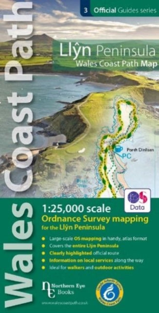
Llyn Peninsula Coast Path Map: 1:25,000 scale Ordnance Survey mapping for the Llyn Peninsula section of the Wales Coast Path
Llyn Peninsula Coast Path Map: 1:25,000 scale Ordnance Survey mapping for the Llyn Peninsula section of the Wales Coast Path
💎 Earn 38 Points (£0.38) on this item.
YOU SAVE £2.26
- Condition: Brand new
- UK Delivery times: Usually arrives within 2 - 3 working days
- UK Shipping: Fee starts at £2.39. Subject to product weight & dimension
Bulk ordering. Want 15 or more copies? Get a personalised quote and bigger discounts. Learn more about bulk orders.
Couldn't load pickup availability
- More about Llyn Peninsula Coast Path Map: 1:25,000 scale Ordnance Survey mapping for the Llyn Peninsula section of the Wales Coast Path
This atlas provides detailed Ordnance Survey mapping for the Llyn Peninsula section of the Wales Coast Path, including extracts from large scale Explorer maps. It is designed for walkers and includes on-map symbols for amenities, an introduction, and additional useful information.
Format: Paperback / softback
Length: 48 pages
Publication date: 04 September 2020
Publisher: Northern Eye Books
This comprehensive atlas offers an enhanced and detailed mapping experience for walkers exploring the Llyn Peninsula section of the Wales Coast Path. With a scale of 1: 25,000, it provides a convenient format that includes all the necessary mapping to navigate this stunning coastal route.
The atlas covers the continuous Ordnance Survey (OS) mapping between Bangor and Porthmadog, ensuring a seamless and accurate navigation experience. It incorporates extracts from large-scale Explorer maps 253 and 254, offering a broader perspective of the area.
The Llyn Peninsula is extensively mapped, providing a clear and detailed representation of the terrain. The official route of the Wales Coast Path is highlighted on the maps, making it easy for walkers to follow the designated path. On-map symbols indicate amenities such as hotels, campsites, and restaurants, ensuring that you have access to necessary resources during your journey.
An introduction with an attractive photo mosaic provides a visual glimpse of the region's beauty, setting the tone for your walking experience. Additionally, the atlas includes valuable additional information, such as walking times, distance markers, and elevation profiles, to help you plan and prepare for your adventure.
Whether you are a seasoned walker or a beginner seeking to explore the wonders of the Wales Coast Path, this atlas is an essential companion. Its comprehensive mapping, detailed information, and attractive design make it a must-have for anyone who wants to fully immerse themselves in the beauty and challenges of this iconic trail.
Weight: 104g
Dimension: 211 x 109 x 28 (mm)
ISBN-13: 9781908632609
This item can be found in:
UK and International shipping information
UK and International shipping information
UK Delivery and returns information:
- Delivery within 2 - 3 days when ordering in the UK.
- Shipping fee for UK customers from £2.39. Fully tracked shipping service available.
- Returns policy: Return within 30 days of receipt for full refund.
International deliveries:
Shulph Ink now ships to Australia, Belgium, Canada, France, Germany, Ireland, Italy, India, Luxembourg Saudi Arabia, Singapore, Spain, Netherlands, New Zealand, United Arab Emirates, United States of America.
- Delivery times: within 5 - 10 days for international orders.
- Shipping fee: charges vary for overseas orders. Only tracked services are available for most international orders. Some countries have untracked shipping options.
- Customs charges: If ordering to addresses outside the United Kingdom, you may or may not incur additional customs and duties fees during local delivery.