Cycle Maps UK
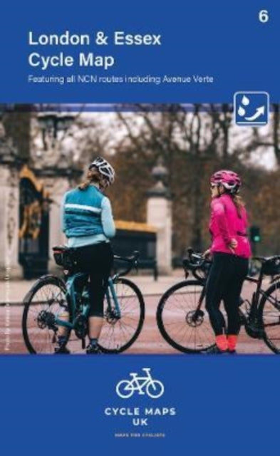
London and Essex Cycle Map 6
London and Essex Cycle Map 6
💎 Earn 27 Points (£0.27) on this item.
YOU SAVE £1.57
- Condition: Brand new
- UK Delivery times: Usually arrives within 2 - 3 working days
- UK Shipping: Fee starts at £2.39. Subject to product weight & dimension
Bulk ordering. Want 15 or more copies? Get a personalised quote and bigger discounts. Learn more about bulk orders.
Couldn't load pickup availability
- More about London and Essex Cycle Map 6
The London and Essex map is the second in a series of cycle maps covering the whole country, from Uxbridge to Harwich. It shows important features such as the National Cycle Network, roads, off-road, and traffic-free sections, as well as facilities such as toilets, pubs, accommodation, bike shops, repair stations, and railway stations. The mapping is produced at a scale of 1:100,000 and has relief shading to give a clear picture of the terrain.
Format: Sheet map, folded
Length: 1 pages
Publication date: 15 June 2022
Publisher: Cordee
The London and Essex map, the second in a series of cycle maps covering the entire country, spans from Uxbridge in the west to Harwich in the east. It encompasses areas as far north as Luton and Halstead and as far south as Canterbury and Leatherhead. These meticulously crafted maps are produced at a scale of 1:100,000, showcasing vital features such as the National Cycle Network. Different colors are used to distinguish road, off-road, and traffic-free sections, along with their corresponding route numbers. Additionally, other roads and their classifications are displayed, allowing riders to plan rides or explore specific sections, discovering new routes both within their local area and further afield.
The mapping includes comprehensive information about facilities such as toilets, pubs, accommodation, bike shops, repair stations, and railway stations. Relief shading is also employed to provide a clear depiction of the terrain, enabling riders to anticipate and prepare for any challenges they may encounter during their cycling adventures.
With a folded size of 163mm x 105mm and an unfolded size of 650mm x 800mm, these maps are designed to be portable and durable, ensuring they can accompany riders on their journeys without compromising on convenience or quality. Whether you're a seasoned cyclist or a beginner looking to explore new cycling routes, the London and Essex map is an invaluable tool that will enhance your riding experience and help you discover the beauty of the UK's countryside on two wheels.
Dimension: 163 x 105 (mm)
ISBN-13: 9781904207757
This item can be found in:
UK and International shipping information
UK and International shipping information
UK Delivery and returns information:
- Delivery within 2 - 3 days when ordering in the UK.
- Shipping fee for UK customers from £2.39. Fully tracked shipping service available.
- Returns policy: Return within 30 days of receipt for full refund.
International deliveries:
Shulph Ink now ships to Australia, Belgium, Canada, France, Germany, Ireland, Italy, India, Luxembourg Saudi Arabia, Singapore, Spain, Netherlands, New Zealand, United Arab Emirates, United States of America.
- Delivery times: within 5 - 10 days for international orders.
- Shipping fee: charges vary for overseas orders. Only tracked services are available for most international orders. Some countries have untracked shipping options.
- Customs charges: If ordering to addresses outside the United Kingdom, you may or may not incur additional customs and duties fees during local delivery.