Susan Ahmadi Hansen
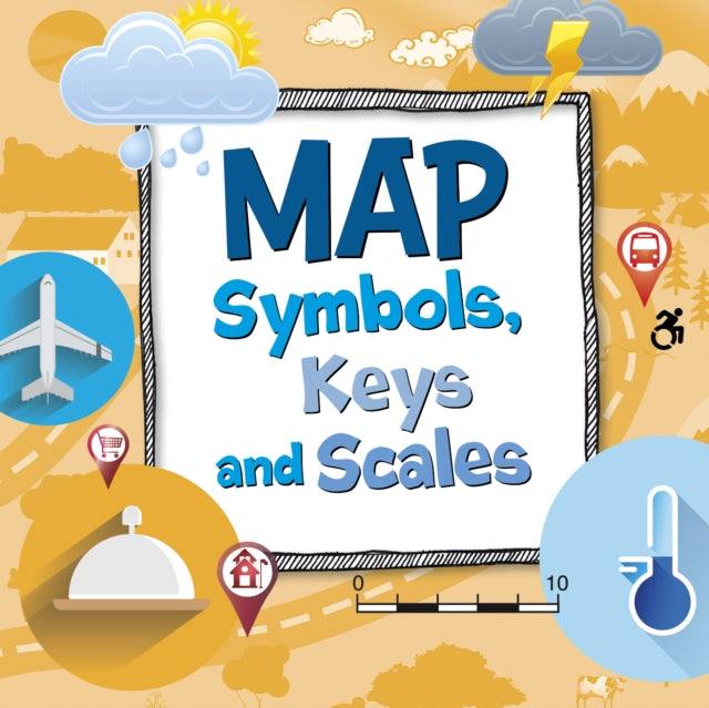
Map Symbols, Keys and Scales
Map Symbols, Keys and Scales
💎 Earn 62 Points (£0.62) on this item.
YOU SAVE £0.52
- Condition: Brand new
- UK Delivery times: Usually arrives within 2 - 3 working days
- UK Shipping: Fee starts at £2.39. Subject to product weight & dimension
Bulk ordering. Want 15 or more copies? Get a personalised quote and bigger discounts. Learn more about bulk orders.
Couldn't load pickup availability
- More about Map Symbols, Keys and Scales
Maps need a key and a ruler to help us find what we need, such as buried treasure or the zoo. This will help kids build visual literacy skills and navigate their world.
Format: Hardback
Length: 24 pages
Publication date: 25 May 2023
Publisher: Capstone Global Library Ltd
Maps are an essential tool for navigation and exploration, providing us with a visual representation of the world around us. They are used in a variety of fields, from transportation to geography to history, and can be found in many different forms, including paper maps, digital maps, and interactive maps.
One of the most important features of a map is its key, which helps us to interpret the symbols and information on the map. A key typically includes a series of lines, colors, and symbols that represent different features on the map, such as cities, roads, rivers, and mountains. By using the key, we can identify the location of specific places and navigate our way to our destination.
Another important feature of a map is its scale, which indicates the relative size of the features on the map. Scales can be in different units, such as kilometers or miles, and can be marked on the map in a variety of ways, such as a ruler or a scale bar. The scale helps us to determine the distance between two locations and to plan our route accordingly.
Maps also include a variety of other features, such as legends, which explain the symbols and information on the map. Legends can be in different formats, such as text or graphics, and can be used to explain the meaning of different symbols, such as colors or symbols.
In addition to these features, maps can also include a variety of other information, such as topography, which describes the physical features of the land, and weather information, which can help us plan our activities and prepare for unexpected weather conditions.
Overall, maps are an essential tool for navigation and exploration, providing us with a visual representation of the world around us and helping us to identify and navigate our way to our destination. By understanding the different parts of a map and how to use them, we can improve our visual literacy skills and navigate our world more effectively.
Why do maps need a key?
Maps need a key to help us interpret the symbols and information on the map. A key typically includes a series of lines, colors, and symbols that represent different features on the map, such as cities, roads, rivers, and mountains. By using the key, we can identify the location of specific places and navigate our way to our destination.
Whats that ruler in the corner for?
The ruler in the corner of a map is used to indicate the scale of the map. The scale indicates the relative size of the features on the map and can be marked in a variety of ways, such as a ruler or a scale bar. The scale helps us to determine the distance between two locations and to plan our route accordingly.
Learn about the different parts of a map so you can find what you need - whether it's buried treasure or your way to the zoo!
Maps are an essential tool for navigation and exploration, providing us with a visual representation of the world around us. They are used in a variety of fields, from transportation to geography to history, and can be found in many different forms, including paper maps, digital maps, and interactive maps.
One of the most important features of a map is its key, which helps us to interpret the symbols and information on the map. A key typically includes a series of lines, colors, and symbols that represent different features on the map, such as cities, roads, rivers, and mountains. By using the key, we can identify the location of specific places and navigate our way to our destination.
Another important feature of a map is its scale, which indicates the relative size of the features on the map. Scales can be in different units, such as kilometers or miles, and can be marked on the map in a variety of ways, such as a ruler or a scale bar. The scale helps us to determine the distance between two locations and to plan our route accordingly.
Maps also include a variety of other features, such as legends, which explain the symbols, and information on the map. Legends can be in different formats, such as text or graphics, and can be used to explain the meaning of different symbols, such as colors or symbols.
In addition to these features, maps can also include a variety of other information, such as topography, which describes the physical features of the land, and weather information, which can help us plan our activities and prepare for unexpected weather conditions.
Overall, maps are an essential tool for navigation and exploration, providing us with a visual representation of the world around us and helping us to identify and navigate our way to our destination. By understanding the different parts of a map and how to use them, we can improve our visual literacy skills and navigate our world more effectively.
Dimension: 203 x 203 (mm)
ISBN-13: 9781398248304
This item can be found in:
UK and International shipping information
UK and International shipping information
UK Delivery and returns information:
- Delivery within 2 - 3 days when ordering in the UK.
- Shipping fee for UK customers from £2.39. Fully tracked shipping service available.
- Returns policy: Return within 30 days of receipt for full refund.
International deliveries:
Shulph Ink now ships to Australia, Belgium, Canada, France, Germany, Ireland, Italy, India, Luxembourg Saudi Arabia, Singapore, Spain, Netherlands, New Zealand, United Arab Emirates, United States of America.
- Delivery times: within 5 - 10 days for international orders.
- Shipping fee: charges vary for overseas orders. Only tracked services are available for most international orders. Some countries have untracked shipping options.
- Customs charges: If ordering to addresses outside the United Kingdom, you may or may not incur additional customs and duties fees during local delivery.