Alida C.Metcalf
Mapping an Atlantic World, circa 1500
Mapping an Atlantic World, circa 1500
YOU SAVE £4.78
- Condition: Brand new
- UK Delivery times: Usually arrives within 2 - 3 working days
- UK Shipping: Fee starts at £2.39. Subject to product weight & dimension
Bulk ordering. Want 15 or more copies? Get a personalised quote and bigger discounts. Learn more about bulk orders.
Couldn't load pickup availability
- More about Mapping an Atlantic World, circa 1500
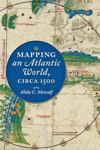
Sixteenth-century maps show the start of the Atlantic World by depicting trade, colonization, evangelism, and the movement of peoples. Alida C. Metcalf argues that these maps reveal powerful and persuasive arguments about the possibility of an interconnected Atlantic World. Renaissance cosmographers incorporated sailing charts into their maps and rejected classical models, communicating the accessibility of distant places with valuable commodities. Metcalf's book includes 50 beautiful and illuminating historical maps.
Format: Hardback
Length: 248 pages
Publication date: 13 October 2020
Publisher: Johns Hopkins University Press
Beginning around 1500, in the decades following Columbus's voyages, the Atlantic Ocean moved from the periphery to the center on European world maps. This brief but highly significant moment in early modern European history marks not only a paradigm shift in how the world was mapped but also the opening of what historians call the Atlantic World.
But how did sixteenth-century chartmakers and mapmakers begin to conceptualize—and present to the public—an interconnected Atlantic World that was open and navigable, in comparison to the mysterious ocean that had blocked off the Western hemisphere before Columbus's exploration?
In Mapping an Atlantic World, circa 1500, Alida C. Metcalf argues that the earliest surviving maps from this era, which depict trade, colonization, evangelism, and the movement of peoples, reveal powerful and persuasive arguments about the possibility of an interconnected Atlantic World.
Blending scholarship from two fields, historical cartography and Atlantic history, Metcalf explains why Renaissance cosmographers first incorporated sailing charts into their maps and began to reject classical models for mapping the world.
Combined with the new placement of the Atlantic, the visual imagery on Atlantic maps—which featured decorative compass roses, animals, landscapes, and native peoples—communicated the accessibility of distant places with valuable commodities.
Even though individual maps became outdated quickly, Metcalf reveals, new mapmakers copied their imagery, which then repeated on map after map. Individual maps might fall out of date, be lost, discarded, or forgotten, but their geographic and visual design promoted a new way of seeing the world, with an interconnection of distant places.
Weight: 518g
Dimension: 164 x 241 x 26 (mm)
ISBN-13: 9781421438528
This item can be found in:
UK and International shipping information
UK and International shipping information
UK Delivery and returns information:
- Delivery within 2 - 3 days when ordering in the UK.
- Shipping fee for UK customers from £2.39. Fully tracked shipping service available.
- Returns policy: Return within 30 days of receipt for full refund.
International deliveries:
Shulph Ink now ships to Australia, Belgium, Canada, France, Germany, Ireland, Italy, India, Luxembourg Saudi Arabia, Singapore, Spain, Netherlands, New Zealand, United Arab Emirates, United States of America.
- Delivery times: within 5 - 10 days for international orders.
- Shipping fee: charges vary for overseas orders. Only tracked services are available for most international orders. Some countries have untracked shipping options.
- Customs charges: If ordering to addresses outside the United Kingdom, you may or may not incur additional customs and duties fees during local delivery.


