Riaz Dean
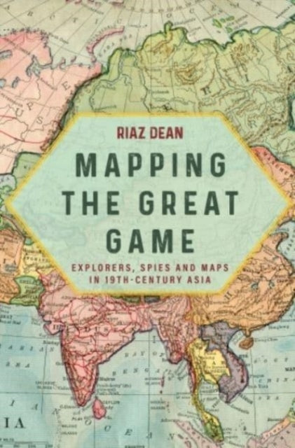
Mapping the Great Game: Explorers, Spies and Maps in 19th-Century Asia
Mapping the Great Game: Explorers, Spies and Maps in 19th-Century Asia
💎 Earn 82 Points (£0.82) on this item.
YOU SAVE £6.03
- Condition: Brand new
- UK Delivery times: Usually arrives within 2 - 3 working days
- UK Shipping: Fee starts at £2.39. Subject to product weight & dimension
Bulk ordering. Want 15 or more copies? Get a personalised quote and bigger discounts. Learn more about bulk orders.
Couldn't load pickup availability
- More about Mapping the Great Game: Explorers, Spies and Maps in 19th-Century Asia
During the 19th century, the Great Game was played out between Great Britain and Imperial Russia, with most of the intrigue and action taking place along India's northern frontier in Afghanistan, Turkestan, and Tibet. The Great Trigonometrical Survey of India, founded in the 18th century, mapped the Great Arc and was undertaken by native Indians known as Pundits, who were trained to explore, spy out, and map Central Asia and Tibet. They were the greatest group of explorers the world has seen in recent history, yet they remain the classic unsung heroes of the British Raj. Riaz Dean's account of their exploits, their adventurous spirit, and their tenacity in the face of great adversity will bring them the attention they deserve.
Format: Paperback / softback
Length: 320 pages
Publication date: 15 July 2023
Publisher: Casemate Publishers
The Great Game, a pivotal contest between Great Britain and Imperial Russia in the 19th century, was ultimately about gaining control over India. However, the majority of the intrigue and significant events unfolded along the northern frontiers of Afghanistan, Turkestan, and Tibet. The possession of accurate maps and knowledge of the enemy were vital components in Britain's efforts to safeguard the "jewel in the crown."
The foundation of the Great Trigonometrical Survey of India in the 18th century marked a significant milestone in the country's cartographic history. While the world is familiar with Mount Everest, the mountain's namesake, few are aware of the man behind this remarkable achievement. George Everest, the Survey's leader, played a pivotal role in mapping the Great Arc, a project that was considered one of the greatest scientific endeavors of its time. However, the cost of this endeavor was astronomical, both in terms of monetary resources and human lives. The Survey of India employed native Indians, known as Pundits, to undertake the vast majority of the work. These brave individuals were trained to explore, spy out, and map Central Asia and Tibet. They undertook this perilous journey entirely on foot, with limited resources and facing countless challenges. Despite the risks, they were the first to uncover the secrets of the forbidden city of Lhasa and discover the true course of the mighty Tsangpo River in Tibet. Their remarkable achievements remain largely unknown, but their contributions to the British Raj are immeasurable.
The story of these extraordinary pioneers who ventured into much of Asia during the 19th century to fill in large portions of its map and gather intelligence for military purposes is often overlooked. However, Riaz Dean's captivating account of their exploits, their adventurous spirit, and their unwavering determination in the face of great adversity brings their story to life. Set within the context of a conte, Dean's narrative provides a vivid portrayal of these unsung heroes of the British Raj. Their unwavering commitment to exploration and their willingness to face the unknown have left an indelible mark on the history of cartography and exploration. The Great Trigonometrical Survey of India and the Pundits who undertook its work represent a testament to the human spirit's resilience and determination in the face of adversity. Their legacy deserves to be recognized and celebrated, as they paved the way for future generations of explorers and adventurers to push the boundaries of knowledge and discovery.
Weight: 488g
Dimension: 152 x 229 x 26 (mm)
ISBN-13: 9781636243764
This item can be found in:
UK and International shipping information
UK and International shipping information
UK Delivery and returns information:
- Delivery within 2 - 3 days when ordering in the UK.
- Shipping fee for UK customers from £2.39. Fully tracked shipping service available.
- Returns policy: Return within 30 days of receipt for full refund.
International deliveries:
Shulph Ink now ships to Australia, Belgium, Canada, France, Germany, Ireland, Italy, India, Luxembourg Saudi Arabia, Singapore, Spain, Netherlands, New Zealand, United Arab Emirates, United States of America.
- Delivery times: within 5 - 10 days for international orders.
- Shipping fee: charges vary for overseas orders. Only tracked services are available for most international orders. Some countries have untracked shipping options.
- Customs charges: If ordering to addresses outside the United Kingdom, you may or may not incur additional customs and duties fees during local delivery.