Cycle Maps UK
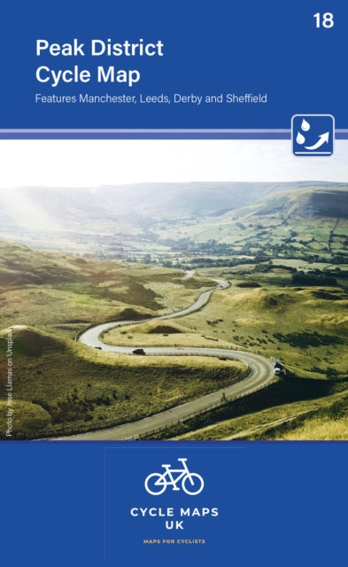
Peak District Cycle Map 18: Features Manchester, Leeds, Derby and Sheffield
Peak District Cycle Map 18: Features Manchester, Leeds, Derby and Sheffield
💎 Earn 27 Points (£0.27) on this item.
YOU SAVE £1.57
- Condition: Brand new
- UK Delivery times: Usually arrives within 2 - 3 working days
- UK Shipping: Fee starts at £2.39. Subject to product weight & dimension
Bulk ordering. Want 15 or more copies? Get a personalised quote and bigger discounts. Learn more about bulk orders.
Couldn't load pickup availability
- More about Peak District Cycle Map 18: Features Manchester, Leeds, Derby and Sheffield
The maps include the National Cycle Network, road, off-road, and traffic-free routes, as well as facilities such as toilets, pubs, accommodation, bike shops, repair stations, and railway stations. They are folded size 163mm x 105mm, unfolded 650mm x 800mm, and tear and water-resistant paper.
Format: Sheet map, folded
Publication date: 15 July 2022
Publisher: Cordee
The maps are meticulously crafted at a scale of 1:100,000, showcasing a wide range of essential features. These include the prestigious National Cycle Network, meticulously depicted with intricate details. Road, off-road, and traffic-free sections are visually differentiated using a variety of colors, accompanied by their respective route numbers. Additionally, other roads and their classifications are displayed, allowing riders to plan and explore new routes both within their local area and further afield.
The mapping goes beyond mere navigation by including a plethora of facilities such as toilets, pubs, accommodations, bike shops, repair stations, and railway stations. These markers provide valuable information for riders, ensuring they have access to necessary amenities during their journeys. Furthermore, the maps incorporate relief shading, providing a clear and detailed depiction of the terrain. This includes the steepness of any hills encountered, allowing riders to prepare for potential challenges and make informed decisions about their routes.
With a folded size of 163mm x 105mm and an unfolded dimension of 650mm x 800mm, these maps are designed to be portable and convenient. The tear-and-water-resistant paper ensures durability, making them suitable for various outdoor activities and environments. The double-sided printing feature allows riders to utilize both sides of the map, maximizing their utility and convenience.
Whether you're a seasoned cyclist or a beginner looking to explore new horizons, these maps are an invaluable tool for your adventures. They provide a comprehensive overview of the terrain, enabling you to plan your routes with precision and confidence. So, grab your map, hit the road, and embark on a thrilling cycling journey filled with excitement and discovery!
Weight: 84g
Dimension: 133 x 389 x 16 (mm)
ISBN-13: 9781904207733
This item can be found in:
UK and International shipping information
UK and International shipping information
UK Delivery and returns information:
- Delivery within 2 - 3 days when ordering in the UK.
- Shipping fee for UK customers from £2.39. Fully tracked shipping service available.
- Returns policy: Return within 30 days of receipt for full refund.
International deliveries:
Shulph Ink now ships to Australia, Belgium, Canada, France, Germany, Ireland, Italy, India, Luxembourg Saudi Arabia, Singapore, Spain, Netherlands, New Zealand, United Arab Emirates, United States of America.
- Delivery times: within 5 - 10 days for international orders.
- Shipping fee: charges vary for overseas orders. Only tracked services are available for most international orders. Some countries have untracked shipping options.
- Customs charges: If ordering to addresses outside the United Kingdom, you may or may not incur additional customs and duties fees during local delivery.