Philip's Maps
Philip's Caribbean Atlas for Secondary Schools: 8th Edition
Philip's Caribbean Atlas for Secondary Schools: 8th Edition
💎 Earn 47 Points (£0.47) on this item.
YOU SAVE £3.49
- Condition: Brand new
- UK Delivery times: Usually arrives within 2 - 3 working days
- UK Shipping: Fee starts at £2.39. Subject to product weight & dimension
Bulk ordering. Want 15 or more copies? Get a personalised quote and bigger discounts. Learn more about bulk orders.
Couldn't load pickup availability
- More about Philip's Caribbean Atlas for Secondary Schools: 8th Edition
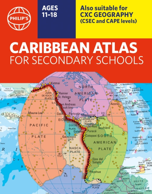
The Philip's Caribbean Atlas for Secondary Schools is a new edition of the market-leading atlas for CXC Geography students, providing extensive coverage of the Caribbean area and a comprehensive selection of world and regional maps. It is arranged in three sections for ease of use, with each page color-coded for rapid reference. The 8th edition features updated mapping of all Caribbean islands and the latest statistics.
Format: Paperback / softback
Length: 184 pages
Publication date: 04 May 2023
Publisher: Octopus Publishing Group
The market-leading atlas for CXC Geography students, Philip's Caribbean Atlas for Secondary Schools, offers comprehensive coverage of the Caribbean region, along with a wide range of world and regional maps. The atlas is organized into three sections for easy navigation, with each page color-coded for quick reference. The first section spans 48 pages and provides detailed coverage of the Caribbean region, including maps of every island, as well as Belize and Guyana. It also includes topographical, land use, tourism, and mining maps. The second section comprises 72 pages of world topographical maps, featuring continental thematic maps on topics such as population, climate, and biomes, followed by 32 pages of world thematic maps. This eighth edition includes updated mapping of all Caribbean islands and the latest statistics. The World map section extends coverage to Brazil, the Americas, and Asia, while the World thematic section includes maps on volcanoes, El Niño, tourism, energy, minerals, industry, trade, and international organizations. Completing the atlas is a section of CXC study maps covering topics such as farming, soil conservation, economics, tourism, and urban land use. Regional studies of Mauritius, the UK, Canada, the USA, and Brazil are also included. The index provides letter-figure grid references and latitude and longitude coordinates.
Weight: 714g
Dimension: 225 x 286 x 14 (mm)
ISBN-13: 9781849076470
This item can be found in:
UK and International shipping information
UK and International shipping information
UK Delivery and returns information:
- Delivery within 2 - 3 days when ordering in the UK.
- Shipping fee for UK customers from £2.39. Fully tracked shipping service available.
- Returns policy: Return within 30 days of receipt for full refund.
International deliveries:
Shulph Ink now ships to Australia, Belgium, Canada, France, Germany, Ireland, Italy, India, Luxembourg Saudi Arabia, Singapore, Spain, Netherlands, New Zealand, United Arab Emirates, United States of America.
- Delivery times: within 5 - 10 days for international orders.
- Shipping fee: charges vary for overseas orders. Only tracked services are available for most international orders. Some countries have untracked shipping options.
- Customs charges: If ordering to addresses outside the United Kingdom, you may or may not incur additional customs and duties fees during local delivery.