Philip's Maps
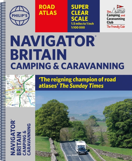
Philip's Navigator Camping and Caravanning Atlas of Britain
Philip's Navigator Camping and Caravanning Atlas of Britain
💎 Earn 98 Points (£0.98) on this item.
YOU SAVE £7.24
- Condition: Brand new
- UK Delivery times: Usually arrives within 2 - 3 working days
- UK Shipping: Fee starts at £2.39. Subject to product weight & dimension
Bulk ordering. Want 15 or more copies? Get a personalised quote and bigger discounts. Learn more about bulk orders.
Couldn't load pickup availability
- More about Philip's Navigator Camping and Caravanning Atlas of Britain
The ultimate road atlas for camping, caravanning, and motorhomes in Britain, with scale, accuracy, and clarity unmatched. It includes over 1,880 approved campsites, 6000 bridge height limits, 1500 bridge weight limits, and 260 bridge width limits, as well as essential information for caravanning motorists. With over 3000 main roads named, 100 indexed town-center maps, and 6-page route-planning sections, it offers exceptional road detail, from motorways to country lanes, with every junction, roundabout, and slip-road shown.
Format: Spiral bound
Length: 416 pages
Publication date: 06 April 2023
Publisher: Octopus Publishing Group
The allure of the open road and the British countryside has never faded, and the appeal of independent exploration has undoubtedly grown in recent years. However, adventurous travelers require practical information about what lies ahead, from bridge heights, widths, and weights to places to stop and enjoy. Philip's Navigator Camping and Caravanning Atlas of Britain is the number one choice of road atlas for the independent traveling motorist and camper van owner.
* Scale:
1.5 miles to 1 inch = 1:100,000 (Northern Scotland: 3 miles to 1 inch = 1:200,000)
* Over 1,880 approved campsites located, plus essential advice from The Camping and Caravanning Club
* Includes essential information for caravanning motorists:
6,000 bridge height limits, 1,500 bridge weight limits, and 260 bridge width limits. No other road atlas of Britain offers this level of detail and clarity.
* Britain's best road mapping in a great spiral format.
* Every street in Britain is marked on the maps.
* Over 3,000 main roads named.
* 100 indexed town-center maps plus approaches to 12 major urban areas.
* Super-detailed 6-page route-planning section.
* Exceptional road detail, from motorways to country lanes, with every junction, roundabout, and slip road shown.
* Thousands of individually named farms, houses, and hamlets.
* Philip's Navigator Camping and Caravanning Atlas of Britain includes a special feature by The Friendly Club, which is packed with essential camping and caravanning information.
Weight: 1960g
Dimension: 297 x 352 x 28 (mm)
ISBN-13: 9781849076289
This item can be found in:
UK and International shipping information
UK and International shipping information
UK Delivery and returns information:
- Delivery within 2 - 3 days when ordering in the UK.
- Shipping fee for UK customers from £2.39. Fully tracked shipping service available.
- Returns policy: Return within 30 days of receipt for full refund.
International deliveries:
Shulph Ink now ships to Australia, Belgium, Canada, France, Germany, Ireland, Italy, India, Luxembourg Saudi Arabia, Singapore, Spain, Netherlands, New Zealand, United Arab Emirates, United States of America.
- Delivery times: within 5 - 10 days for international orders.
- Shipping fee: charges vary for overseas orders. Only tracked services are available for most international orders. Some countries have untracked shipping options.
- Customs charges: If ordering to addresses outside the United Kingdom, you may or may not incur additional customs and duties fees during local delivery.