Philip's Maps
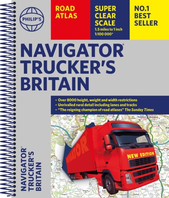
Philip's Navigator Trucker's Britain: Spiral
Philip's Navigator Trucker's Britain: Spiral
💎 Earn 98 Points (£0.98) on this item.
YOU SAVE £7.24
- Condition: Brand new
- UK Delivery times: Usually arrives within 2 - 3 working days
- UK Shipping: Fee starts at £2.39. Subject to product weight & dimension
Bulk ordering. Want 15 or more copies? Get a personalised quote and bigger discounts. Learn more about bulk orders.
Couldn't load pickup availability
- More about Philip's Navigator Trucker's Britain: Spiral
The UK's most trusted road atlas for anyone driving large vehicles, with exceptional scale, accuracy, and clarity. It includes over 6,000 bridge heights, nearly 1,500 weight-restricted bridges, and over 250 width-restricted bridges. With over 3000 roads named, 100 indexed town-centre maps, and approaches maps to 12 major urban areas, it is the only road atlas of Britain to offer this level of detail and clarity.
Format: Spiral bound
Length: 412 pages
Publication date: 02 March 2023
Publisher: Octopus Publishing Group
The UK's most trusted road atlas for anyone driving large vehicles, providing every bridge height, width, and weight limit you could need.
A map that surpasses all others, The Daily Telegraph
Scale, accuracy, and clarity are unparalleled.
Driving Magazine
No.1 in the UK for clear maps.
Independent research survey.
- Exceptional scale: 1.5 miles to 1 inch = 1:100,000 (Northern Scotland: 3 miles to 1 inch = 1:200,000)
- The Road Atlas for the professionals: Over 6,000 bridge heights, nearly 1,500 weight-restricted bridges, and over 250 width-restricted bridges.
- The only road atlas of Britain offers this level of detail and clarity.
- Super-detailed 6-page route-planning section.
- Every street in Britain marked on the maps.
- Over 3,000 roads named.
- 100 indexed town-centre maps, plus approaches maps to 12 major urban areas.
- Exceptional road detail, from motorways to country lanes, with every junction, roundabout, and slip-road shown.
- Thousands of individually named farms, houses, and hamlets.
Philip's Navigator atlases are widely used by professional drivers and the emergency services, including national police training, and are recommended in the motoring press and national newspapers.
Weight: 1956g
Dimension: 300 x 353 x 27 (mm)
ISBN-13: 9781849076128
This item can be found in:
UK and International shipping information
UK and International shipping information
UK Delivery and returns information:
- Delivery within 2 - 3 days when ordering in the UK.
- Shipping fee for UK customers from £2.39. Fully tracked shipping service available.
- Returns policy: Return within 30 days of receipt for full refund.
International deliveries:
Shulph Ink now ships to Australia, Belgium, Canada, France, Germany, Ireland, Italy, India, Luxembourg Saudi Arabia, Singapore, Spain, Netherlands, New Zealand, United Arab Emirates, United States of America.
- Delivery times: within 5 - 10 days for international orders.
- Shipping fee: charges vary for overseas orders. Only tracked services are available for most international orders. Some countries have untracked shipping options.
- Customs charges: If ordering to addresses outside the United Kingdom, you may or may not incur additional customs and duties fees during local delivery.