Philip's Maps
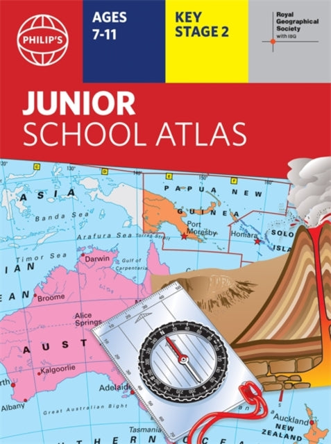
Philip's RGS Junior School Atlas
Philip's RGS Junior School Atlas
💎 Earn 32 Points (£0.32) on this item.
YOU SAVE £2.41
- Condition: Brand new
- UK Delivery times: Usually arrives within 2 - 3 working days
- UK Shipping: Fee starts at £2.39. Subject to product weight & dimension
Bulk ordering. Want 15 or more copies? Get a personalised quote and bigger discounts. Learn more about bulk orders.
Couldn't load pickup availability
- More about Philip's RGS Junior School Atlas
The 11th edition of Philip's RGS Junior School Atlas has been fully revised and updated with the latest facts and curriculum requirements for primary school pupils. It includes clear and easy-to-follow maps and diagrams, a 22-page Britain and Ireland section, a 22-page section on The World, and a continents section with physical and political maps. The atlas is recommended for Key Stage 2 of the National Curriculum and is an excellent introduction to mapping concepts.
Format: Paperback / softback
Publication date: 27 October 2021
Publisher: Octopus Publishing Group
The 11th edition of the market-leading atlas for primary school pupils, Philip's RGS Junior School Atlas, has undergone a comprehensive revision and update to ensure it remains the go-to resource for young learners. This essential atlas is designed to provide clear and easy-to-follow maps and diagrams, making it an invaluable tool for students in Key Stage 2 of the National Curriculum and beyond.
Published in association with the renowned Royal Geographical Society, Philip's RGS Junior School Atlas is a testament to its commitment to delivering accurate and up-to-date information. It is tailored to meet the needs of 7-11 year olds, providing them with a solid foundation in mapping concepts such as scale, direction, symbols, longitude, and latitude.
The atlas features a 22-page section dedicated to Britain and Ireland, offering a comprehensive overview of the region with thematic charts, diagrams, and large-scale regional maps. The section covers a range of topics, including mountains and rivers, climate and weather, population and cities, farming and fishing, industry and energy, transport, tourism, and conservation. Each topic is presented in a visually engaging and accessible manner, making it easy for students to grasp and understand.
In addition to the Britain and Ireland section, the atlas includes a 22-page section on "The World." Here, students can explore political maps, as well as thematic treatment of key themes such as volcanoes and earthquakes, transport and tourism, and more. The maps are accompanied by detailed explanations and annotations, helping students to deepen their knowledge and understanding of the world around them.
The atlas also features a continents section, providing physical and political maps of the world. Each continent is presented in a separate section, allowing students to compare and contrast different regions and countries. The easy-to-follow map references and 1,000-place index make it convenient for students to locate and reference information quickly and easily.
In summary, Philip's RGS Junior School Atlas is an exceptional resource for primary school pupils who are eager to explore the world of maps. With its comprehensive coverage, engaging content, and user-friendly design, it is the perfect tool for introducing students to the world of geography and mapping. Whether used in the classroom or for independent study, this atlas will help students develop their geographical knowledge and understanding, and prepare them for future academic and geographical endeavors.
Weight: 290g
Dimension: 224 x 299 x 9 (mm)
ISBN-13: 9781849075800
This item can be found in:
UK and International shipping information
UK and International shipping information
UK Delivery and returns information:
- Delivery within 2 - 3 days when ordering in the UK.
- Shipping fee for UK customers from £2.39. Fully tracked shipping service available.
- Returns policy: Return within 30 days of receipt for full refund.
International deliveries:
Shulph Ink now ships to Australia, Belgium, Canada, France, Germany, Ireland, Italy, India, Luxembourg Saudi Arabia, Singapore, Spain, Netherlands, New Zealand, United Arab Emirates, United States of America.
- Delivery times: within 5 - 10 days for international orders.
- Shipping fee: charges vary for overseas orders. Only tracked services are available for most international orders. Some countries have untracked shipping options.
- Customs charges: If ordering to addresses outside the United Kingdom, you may or may not incur additional customs and duties fees during local delivery.