Shulph Ink
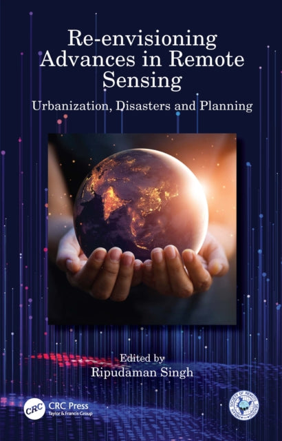
Re-envisioning Advances in Remote Sensing: Urbanization, Disasters and Planning
Re-envisioning Advances in Remote Sensing: Urbanization, Disasters and Planning
We can order this item for you. Delivery usually takes about 4 to 6 weeks.
This item is not held in our immediate stock. We will order it for you after checkout.
Estimated delivery: About 4 to 6 weeks
YOU SAVE £12.84
- Condition: Brand new
- UK Delivery times: Usually arrives within 2 - 3 working days
- UK Shipping: Fee starts at £3.89. Subject to product weight & dimension
Bulk ordering. Want 15 or more copies? Get a personalised quote and bigger discounts. Learn more about bulk orders.
Couldn't load pickup availability
- More about Re-envisioning Advances in Remote Sensing: Urbanization, Disasters and Planning
Re-envisioning Advances in Remote Sensing: Urbanization, Disasters, and Planning explores advancements in remote sensing applications, focusing on urbanization, disaster management, and regional planning. It highlights remote sensing developments in India and discusses themes such as urbanization, geospatial technology for disaster management, and remote sensing applications in models and planning. The book also explores the use of smartphones and digital devices for mapping urban problems and monitoring disaster risks. It serves as a valuable resource for researchers and graduate students in remote sensing, GIS, and related fields.
Format: Hardback
Length: 294 pages
Publication date: 17 March 2022
Publisher: Taylor & Francis Ltd
Re-envisioning Advances in Remote Sensing: Urbanization, Disasters, and Planning is a comprehensive exploration of the diverse advancements in remote sensing applications, focusing on urbanization, disaster management, and regional planning perspectives. Organized into three sections, the book delves into key remote sensing applications, including Indian remote sensing developments. It also explores broader themes such as urbanization and its impacts, geospatial technology for disaster management, and remote sensing applications in models and planning. Additionally, it provides an outlook for future research agendas in remote sensing.
The book offers a wealth of features, including:
• Depictions of advances in remote sensing across major fields through the application of geospatial technologies.
• Coverage of remote sensing applications in various aspects of urbanization, urban problems, and disasters.
• Insights into advancements in remote sensing in model building and planning perspectives.
• Analysis of the utilization of smartphones and other digital devices in mapping urban problems and monitoring disaster risks.
• Exploration of the future agenda for remote sensing advances and its expanding horizon.
This book is of immense interest to researchers and graduate students pursuing studies in remote sensing, GIS, geospatial technologies, urbanization, disaster management, regional planning, environmental sciences, natural resource management, and related fields. It serves as a valuable resource for advancing knowledge and understanding in these critical domains.
Weight: 604g
Dimension: 160 x 241 x 25 (mm)
ISBN-13: 9781032124575
UK and International shipping information
UK and International shipping information
We deliver throughout the United Kingdom and to 128 countries and territories worldwide, including the United States, Australia, Canada, Germany, Spain and France.