YasirBashir
Seismic Imaging Methods and Applications for Oil and Gas Exploration
Seismic Imaging Methods and Applications for Oil and Gas Exploration
- Condition: Brand new
- UK Delivery times: Usually arrives within 2 - 3 working days
- UK Shipping: Fee starts at £2.39. Subject to product weight & dimension
Bulk ordering. Want 15 or more copies? Get a personalised quote and bigger discounts. Learn more about bulk orders.
Couldn't load pickup availability
- More about Seismic Imaging Methods and Applications for Oil and Gas Exploration
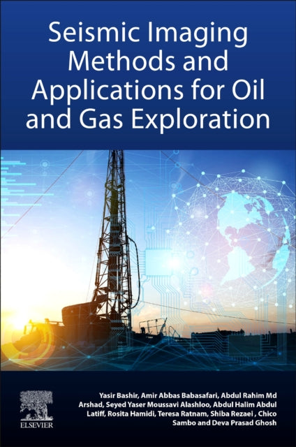
Seismic Imaging Methods and Application for Oil and Gas Exploration is a book that connects legacy field data processing and imaging with new research methods in geophysics, covering seismic data acquisition, processing, modeling, high-resolution imaging, and anisotropic modeling and imaging. It is a valuable resource for geophysicists, students, and academics in exploration geophysics.
Format: Paperback / softback
Length: 308 pages
Publication date: 17 March 2022
Publisher: Elsevier - Health Sciences Division
Seismic Imaging Methods and Application for Oil and Gas Exploration is a comprehensive guide that delves into the fusion of traditional field data processing and imaging techniques with cutting-edge research methodologies centered around diffractions and anisotropy in the realm of geophysics. The book encompasses a wide range of topics, including seismic data acquisition, seismic data processing, seismic wave modeling, high-resolution imaging, and anisotropic modeling and imaging. It serves as an essential resource for geophysicists engaged in oil and gas exploration, as well as for students and academics pursuing exploration geophysics.
Seismic imaging plays a pivotal role in oil and gas exploration by providing valuable insights into the subsurface structure and properties of the Earth. Traditional seismic data acquisition methods involve the use of seismic sensors, such as land-based seismographs or marine seismic surveys, to record the seismic waves generated by natural sources or human activities. These seismic waves propagate through the Earth's layers, reflecting off different rock formations and creating seismic records.
Seismic data processing is a critical step in extracting meaningful information from seismic records. It involves various techniques, such as signal processing, filtering, and interpretation, to enhance the quality and resolution of the seismic data. These techniques help in identifying geological structures, such as faults, folds, and reservoirs, as well as detecting hydrocarbons and other geological features.
Seismic wave modeling is another important aspect of seismic imaging. It involves the simulation of seismic waves propagating through the Earth's layers using mathematical models. These models account for the effects of rock properties, such as density, velocity, and attenuation, on the seismic waves. By modeling seismic waves, geophysicists can better understand the behavior of the Earth's subsurface and predict the location and characteristics of potential hydrocarbon reserves.
High-resolution imaging is a technique that enables the visualization of detailed subsurface structures in seismic data. It involves the use of advanced imaging algorithms and processing techniques to enhance the resolution of the seismic data, allowing for the identification of smaller geological features and structures. High-resolution imaging is particularly useful in areas where conventional seismic data is insufficient or ambiguous.
Anisotropic modeling and imaging is a relatively new area of research that focuses on the characterization of the anisotropic properties of the Earth's subsurface. Anisotropy refers to the variation in rock properties along different directions, such as horizontal, vertical, or lateral. By modeling and imaging anisotropy, geophysicists can better understand the flow of fluids and gases in the subsurface, which is crucial for the exploration and development of oil and gas reserves.
In conclusion, seismic imaging methods and application for oil and gas exploration have undergone significant advancements in recent years. The fusion of traditional field data processing and imaging techniques with new research methodologies centered around diffractions and anisotropy has opened up new avenues for exploring the Earth's subsurface. This book serves as a valuable resource for geophysicists, students, and academics in the oil and gas exploration industry, providing a comprehensive understanding of seismic imaging techniques and their applications.
Weight: 494g
Dimension: 151 x 226 x 22 (mm)
ISBN-13: 9780323919463
This item can be found in:
UK and International shipping information
UK and International shipping information
UK Delivery and returns information:
- Delivery within 2 - 3 days when ordering in the UK.
- Shipping fee for UK customers from £2.39. Fully tracked shipping service available.
- Returns policy: Return within 30 days of receipt for full refund.
International deliveries:
Shulph Ink now ships to Australia, Belgium, Canada, France, Germany, Ireland, Italy, India, Luxembourg Saudi Arabia, Singapore, Spain, Netherlands, New Zealand, United Arab Emirates, United States of America.
- Delivery times: within 5 - 10 days for international orders.
- Shipping fee: charges vary for overseas orders. Only tracked services are available for most international orders. Some countries have untracked shipping options.
- Customs charges: If ordering to addresses outside the United Kingdom, you may or may not incur additional customs and duties fees during local delivery.


