Hongping Annie Nie
Selden Map of China: A New Understanding of the Ming Dynasty
Selden Map of China: A New Understanding of the Ming Dynasty
💎 Earn 95 Points (£0.95) on this item.
YOU SAVE £0.96
- Condition: Brand new
- UK Delivery times: Usually arrives within 2 - 3 working days
- UK Shipping: Fee starts at £2.39. Subject to product weight & dimension
Bulk ordering. Want 15 or more copies? Get a personalised quote and bigger discounts. Learn more about bulk orders.
Couldn't load pickup availability
- More about Selden Map of China: A New Understanding of the Ming Dynasty
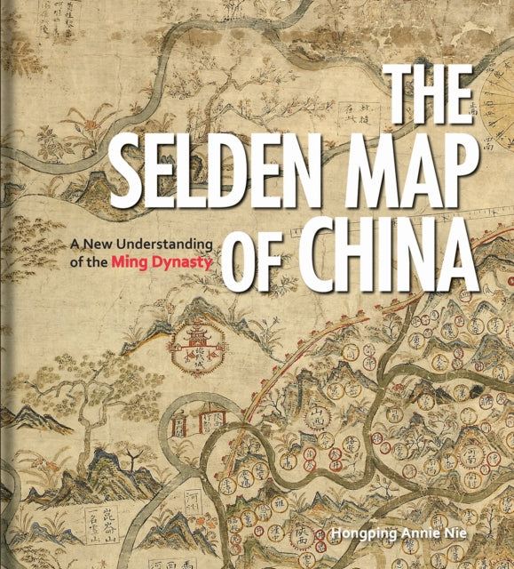
The Selden Map of China, dating from the seventeenth century, is a seafaring chart showing Ming Dynasty trade routes. It is the earliest surviving example of Chinese merchant cartography and reveals a country outward-looking, capitalistic, and vibrant. The book explores the commercial aims of the Ming Dynasty, the port city of Quanzhou, and the voyages of Zheng He, and includes an analysis of the skills and techniques involved in Chinese map-making.
Format: Hardback
Length: 96 pages
Publication date: 28 June 2019
Publisher: Bodleian Library
The Selden Map of China, dating back to the seventeenth century during the height of the Ming Dynasty, presents a captivating portrayal of a country that diverges from conventional notions of the time. Instead of focusing inwardly on the Asian landmass, the map gazes outward towards the sea. Painted on three pieces of Mitsumata paper in a vibrant array of colors, this beautifully decorative map of China was initially mistaken for a seafaring chart depicting Ming Dynasty trade routes. However, upon closer examination, it was discovered to be a remarkable testament to the maritime prowess of the Ming Dynasty. It stands as the earliest surviving example of Chinese merchant cartography, providing invaluable insights into the commercial endeavors of the era. This book delves into the historical context of the map's usage, exploring the port city of Quanzhou and its connections with the voyages of the renowned explorer Zheng He. It offers a comprehensive analysis of the skills and techniques employed in Chinese map-making, highlighting the significance of the compass bearings, scale, and ratios found on the map. These elements collectively represent a significant advancement in cartographic techniques. The captivating story revealed by this extraordinary artifact is essential in comprehending the profound history of China's relationship with the sea and the broader global landscape.
Weight: 682g
Dimension: 267 x 242 x 13 (mm)
ISBN-13: 9781851245246
This item can be found in:
UK and International shipping information
UK and International shipping information
UK Delivery and returns information:
- Delivery within 2 - 3 days when ordering in the UK.
- Shipping fee for UK customers from £2.39. Fully tracked shipping service available.
- Returns policy: Return within 30 days of receipt for full refund.
International deliveries:
Shulph Ink now ships to Australia, Belgium, Canada, France, Germany, Ireland, Italy, India, Luxembourg Saudi Arabia, Singapore, Spain, Netherlands, New Zealand, United Arab Emirates, United States of America.
- Delivery times: within 5 - 10 days for international orders.
- Shipping fee: charges vary for overseas orders. Only tracked services are available for most international orders. Some countries have untracked shipping options.
- Customs charges: If ordering to addresses outside the United Kingdom, you may or may not incur additional customs and duties fees during local delivery.