A-Z Maps
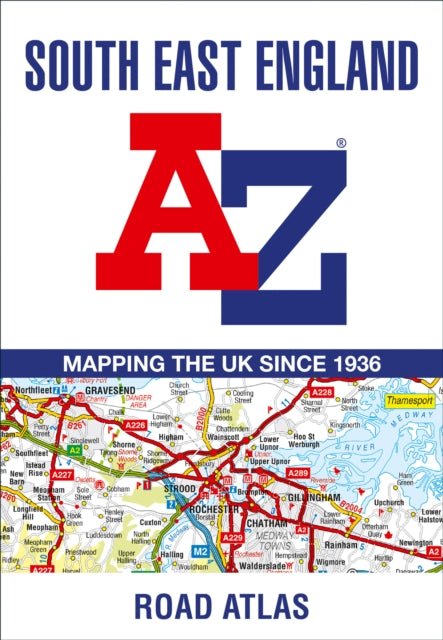
South East England A-Z Road Atlas
South East England A-Z Road Atlas
💎 Earn 29 Points (£0.29) on this item.
YOU SAVE £2.15
- Condition: Brand new
- UK Delivery times: Usually arrives within 2 - 3 working days
- UK Shipping: Fee starts at £2.39. Subject to product weight & dimension
Bulk ordering. Want 15 or more copies? Get a personalised quote and bigger discounts. Learn more about bulk orders.
Couldn't load pickup availability
- More about South East England A-Z Road Atlas
This A-Z map of South East England is a full-color regional road atlas with 46 pages of continuous road mapping, including motorways, service areas, primary routes, and more. It also includes 21 city, town, airport, or port plans and an index section listing cities, towns, villages, hamlets, and locations covered by the road mapping.
Format: Paperback / softback
Length: 72 pages
Publication date: 13 April 2023
Publisher: HarperCollins Publishers
This comprehensive A-Z map of South East England presents a full-color regional road atlas, spanning 46 pages of continuous road mapping that extends from Banbury and Felixstowe to the southern coast, as well as from Oxford and Southampton to Margate and Clacton-on-Sea in the east. The road map detail is presented at a clear scale of 2.5 miles to 1 inch (1.58 km to 1 cm), providing intricate details of motorways, including full junction information, under construction and proposed sections, service areas, primary routes, destinations, A&B roads, selected minor roads, gradients ranging from 1:5 to steeper, tolls, mileage, county boundaries, spot heights, and hill shading. Additionally, the map features selected fuel stations, national park boundaries, and designated places of interest, including tourist information centers, golf courses, and 21 city, town, airport, or port plans for Brighton & Hove, Canterbury, Dover, Eastbourne, Folkestone, Guildford, London, Medway Towns, Milton Keynes, Oxford, Portsmouth, Reading, Southampton, Winchester, Windsor, London Gatwick Airport, London Heathrow Airport, London Luton Airport, London Stansted Airport, Newhaven Port, and Portsmouth Port.
The index section of the map lists cities, towns, villages, hamlets, and locations that are covered by the detailed road mapping, offering a valuable reference for travelers and explorers in the region.
Weight: 158g
Dimension: 170 x 246 x 9 (mm)
ISBN-13: 9780008560584
Edition number: 17 Revised edition
This item can be found in:
UK and International shipping information
UK and International shipping information
UK Delivery and returns information:
- Delivery within 2 - 3 days when ordering in the UK.
- Shipping fee for UK customers from £2.39. Fully tracked shipping service available.
- Returns policy: Return within 30 days of receipt for full refund.
International deliveries:
Shulph Ink now ships to Australia, Belgium, Canada, France, Germany, Ireland, Italy, India, Luxembourg Saudi Arabia, Singapore, Spain, Netherlands, New Zealand, United Arab Emirates, United States of America.
- Delivery times: within 5 - 10 days for international orders.
- Shipping fee: charges vary for overseas orders. Only tracked services are available for most international orders. Some countries have untracked shipping options.
- Customs charges: If ordering to addresses outside the United Kingdom, you may or may not incur additional customs and duties fees during local delivery.