Alexander Kennedy
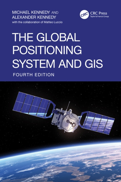
The Global Positioning System and GIS
The Global Positioning System and GIS
💎 Earn 589 Points (£5.89) on this item.
YOU SAVE £7.00
- Condition: Brand new
- UK Delivery times: Usually arrives within 2 - 3 working days
- UK Shipping: Fee starts at £2.39. Subject to product weight & dimension
Bulk ordering. Want 15 or more copies? Get a personalised quote and bigger discounts. Learn more about bulk orders.
Couldn't load pickup availability
- More about The Global Positioning System and GIS
The fourth edition of this bestseller continues to provide concise and practical knowledge for using the Global Positioning System (GPS) as a method of data input into a Geographic Information System (GIS). As GIS representations of the Earth in 3D become more precise and GPS services (GNSS in general) allow for greater accuracy, the information presented in the book has been augmented considerably. With a myriad of GPS-receiving devices and GIS platforms available, this book guides students and users through methods that are proven to build a highly accurate geographical database, including altitude, and understand how GNSS interoperates with 3D Earth scans obtained from LiDAR.
Features
- The only book to address methods of putting global navigation satellite system (GNSS) data into GIS platforms.
- Uses QGIS, a freely downloadable open-source GIS software, as well as ESRI ArcInfo.
- Features Trimble Navigation equipment but is usable for almost any combination of hardware and software.
- Each chapter includes a theoretical overview, step-by-step examples, and hands-on exercises in GPS and GIS.
- Provides data sets as downloadable supplementary material that instructors can use for examples and exams.
- Includes an entirely new chapter written by GPS Editor-in-Chief, Matteo Luccio, as well as interviews from leading experts in the industry, Brad Parkinson, Charlie Trimble, and Jack Dangermond.
This textbook is intended for students learning about geospatial data input to a GIS. It’s for any discipline in which geospatial location is important. It also serves as an invaluable resource for GIS professionals familiar with GIS software but not with techniques for getting geospatial data into their systems.
- Publication date: 27 November 2025
- Page count: 430
- Dimensions: Height 241 mm; Width 165 mm; Thickness 27 mm
- Publisher: Taylor & Francis Ltd
- Format: Hardback
- ISBN-13: 9780367506063
This item can be found in:
UK and International shipping information
UK and International shipping information
UK Delivery and returns information:
- Delivery within 2 - 3 days when ordering in the UK.
- Shipping fee for UK customers from £2.39. Fully tracked shipping service available.
- Returns policy: Return within 30 days of receipt for full refund.
International deliveries:
Shulph Ink now ships to Australia, Belgium, Canada, France, Germany, Ireland, Italy, India, Luxembourg Saudi Arabia, Singapore, Spain, Netherlands, New Zealand, United Arab Emirates, United States of America.
- Delivery times: within 5 - 10 days for international orders.
- Shipping fee: charges vary for overseas orders. Only tracked services are available for most international orders. Some countries have untracked shipping options.
- Customs charges: If ordering to addresses outside the United Kingdom, you may or may not incur additional customs and duties fees during local delivery.