A-Z Maps
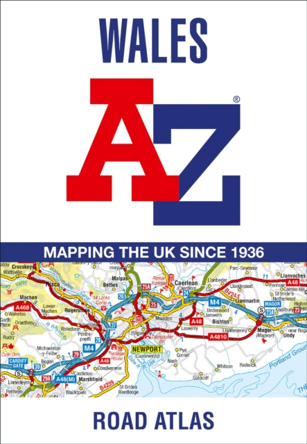
Wales A-Z Road Atlas
Wales A-Z Road Atlas
💎 Earn 29 Points (£0.29) on this item.
YOU SAVE £2.15
- Condition: Brand new
- UK Delivery times: Usually arrives within 2 - 3 working days
- UK Shipping: Fee starts at £2.39. Subject to product weight & dimension
Bulk ordering. Want 15 or more copies? Get a personalised quote and bigger discounts. Learn more about bulk orders.
Couldn't load pickup availability
- More about Wales A-Z Road Atlas
A full-color road atlas of Wales with extended coverage into England, including major routes and city plans, is published at a clear 2.5 miles to 1 inch. It features motorways, primary routes, A and B roads, minor roads, gradients, tolls, mileages, national and county boundaries, spot heights, and hill shading. Two separate indexes cover cities, towns, hamlets, and places of interest.
Format: Paperback / softback
Length: 92 pages
Publication date: 13 April 2023
Publisher: HarperCollins Publishers
Full-Colour Road Atlas of Wales
This comprehensive road atlas offers a detailed portrayal of Wales, extending its coverage into England and encompassing all the major routes leading into the country. With a clear mapping scale of 2.5 miles to 1 inch, it provides a wealth of information for travelers. The atlas features a wide range of road mapping features, including:
- Motorways: The atlas showcases motorways with comprehensive junction detail, including information on upcoming construction and proposed projects.
- Motorway Service Areas: These areas are marked on the maps to provide convenient rest stops and amenities for motorists.
- Primary Routes and Destinations: The atlas highlights major routes and destinations throughout Wales, including cities, towns, and popular attractions.
- A and B Roads: Selected minor roads are also depicted, providing alternative routes for those seeking a more scenic journey.
- Gradients and Steeper Sections: The atlas includes gradients and steeper sections, aiding drivers in planning their routes and navigating challenging terrain.
- Tolls: Toll booths and toll charges are indicated on the maps, allowing drivers to plan their routes accordingly and avoid unexpected expenses.
- Mileages: Mileages are provided for major roads and routes, assisting drivers in estimating travel times and distances.
- National and County Boundaries: The atlas clearly marks national and county boundaries, aiding in navigation and orientation.
- Spot Heights and Hill Shading: Hill shading and spot heights are depicted to provide a visual representation of elevation changes, aiding in route planning.
- Selected Places of Interest: The atlas includes information on tourist information centers, golf courses, and other notable places of interest throughout Wales.
- National Park Boundaries: The boundaries of national parks such as Snowdonia, the Brecon Beacons, and the Pembrokeshire Coast are shown, providing valuable insights into the natural beauty and recreational opportunities of the region.
- 21 City, Town, Airport, or Port Plans: The atlas features detailed plans of 21 cities, towns, airports, and ports in Wales, including Aberystwyth, Bangor, Cardiff, Caernarfon, Carmarthen, Chester, Colwyn Bay, Hereford, Llandudno, Llanelli, Merthyr Tydfil, Newport, Prestatyn, Rhyl, Shrewsbury, Swansea, Wrexham, Cardiff International Airport, Holyhead Port, and Pembroke Dock.
- Two Separate Indexes: The atlas includes two separate indexes that provide extensive coverage of cities, towns, hamlets, and places of interest within Wales. Each entry is accompanied by corresponding map symbols, making it easy to locate and identify specific locations.
This atlas is an invaluable tool for anyone planning a trip to Wales or exploring the region's diverse landscapes and attractions. Its comprehensive coverage, clear mapping, and detailed information make it a must-have for travelers, road enthusiasts, and locals alike.
Weight: 200g
Dimension: 170 x 246 x 7 (mm)
ISBN-13: 9780008560553
Edition number: 13 Revised edition
This item can be found in:
UK and International shipping information
UK and International shipping information
UK Delivery and returns information:
- Delivery within 2 - 3 days when ordering in the UK.
- Shipping fee for UK customers from £2.39. Fully tracked shipping service available.
- Returns policy: Return within 30 days of receipt for full refund.
International deliveries:
Shulph Ink now ships to Australia, Belgium, Canada, France, Germany, Ireland, Italy, India, Luxembourg Saudi Arabia, Singapore, Spain, Netherlands, New Zealand, United Arab Emirates, United States of America.
- Delivery times: within 5 - 10 days for international orders.
- Shipping fee: charges vary for overseas orders. Only tracked services are available for most international orders. Some countries have untracked shipping options.
- Customs charges: If ordering to addresses outside the United Kingdom, you may or may not incur additional customs and duties fees during local delivery.