Shulph Ink
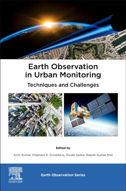
Earth Observation in Urban Monitoring: Techniques and Challenges
Earth Observation in Urban Monitoring: Techniques and Challenges
💎 Earn 628 Points (£6.28) on this item.
YOU SAVE £16.33
- Condition: Brand new
- UK Delivery times: Usually arrives within 2 - 3 working days
- UK Shipping: Fee starts at £3.89. Subject to product weight & dimension
Bulk ordering. Want 15 or more copies? Get a personalised quote and bigger discounts. Learn more about bulk orders.
Couldn't load pickup availability
- More about Earth Observation in Urban Monitoring: Techniques and Challenges
Earth Observation in Urban Monitoring: Techniques and Challenges provides an overview of remote sensing techniques and methodologies for urban monitoring, including sensor applications, growth modeling, SAR, surveying, and satellite time series analysis.
Format: Unspecified
Length: 422 pages
Publication date: 13 November 2023
Publisher: Elsevier - Health Sciences Division
Earth Observation in Urban Monitoring: Techniques and Challenges delves into the cutting-edge techniques of remote sensing in urban monitoring, encompassing both quantitative and qualitative assessments through state-of-the-art Earth observation technologies. This comprehensive book explores the advancements in remote sensing technologies for urban environmental monitoring, encompassing a wide range of practical and research applications. It provides detailed insights into Earth observation datasets, remote sensing of environmental considerations, geostatistical techniques, and resilience perspectives. The chapters cover various sensor applications, urban growth modeling, SAR applications, surveying techniques, satellite time series analysis, and a diverse array of other remote sensing technologies for urban monitoring. Each chapter includes comprehensive case studies spanning different scales and geographies, offering up-to-date, global, urban monitoring methodologies for researchers, scientists, and academics in remote sensing, geospatial research, environmental science, and sustainability.
The utilization of remote sensing in urban monitoring has witnessed significant advancements in recent years, driven by the growing demand for efficient and sustainable urban management. Remote sensing techniques offer a cost-effective means of gathering comprehensive data about cities, enabling the analysis of various urban characteristics and the identification of trends and patterns.
One of the key challenges in urban remote sensing is the acquisition of high-quality data. Satellite imagery, in particular, plays a vital role in urban monitoring, providing detailed information about the physical structure, land use, and vegetation of cities. However, the quality of satellite imagery can be affected by factors such as cloud cover, sensor resolution, and image processing techniques.
Another challenge is the integration of remote sensing data with other sources of information, such as demographic data, socioeconomic data, and environmental data. This integration allows for a more comprehensive understanding of urban dynamics and the development of more effective policies and interventions.
Urban growth modeling is another important application of remote sensing in urban monitoring. By analyzing satellite imagery and other data sources, researchers can develop models that predict future urban growth and assess the impact of urban development on the environment and society. This information can help policymakers and urban planners make informed decisions about urban development and land use.
Remote sensing of environmental considerations is another area of focus in urban remote sensing. By monitoring air quality, water quality, and other environmental indicators, remote sensing can help identify areas of pollution and environmental degradation. This information can be used to develop targeted interventions and policies to improve environmental quality and promote sustainability.
Geostatistical techniques are also widely used in urban remote sensing to analyze and interpret large datasets of spatial and temporal data. These techniques enable the identification of spatial patterns, the analysis of relationships between variables, and the prediction of future trends.
Resilience perspectives are increasingly being integrated into urban remote sensing to assess the vulnerability of cities to natural disasters and other environmental threats. By analyzing the social, economic, and environmental factors that contribute to resilience, remote sensing can help identify areas that require targeted interventions and policies to improve resilience.
In conclusion, Earth Observation in Urban Monitoring: Techniques and Challenges provides a comprehensive overview of the latest techniques and challenges in remote sensing for urban monitoring. By leveraging the power of remote sensing, researchers, policymakers, and urban planners can gain a deeper understanding of urban dynamics and develop more effective strategies for sustainable urban development.
Weight: 866g
Dimension: 234 x 192 x 23 (mm)
ISBN-13: 9780323991643
UK and International shipping information
UK and International shipping information
We deliver throughout the United Kingdom and to 128 countries and territories worldwide, including the United States, Australia, Canada, Germany, Spain and France.