Brian Tomaszewski
Geographic Information Systems (GIS) for Disaster Management
Geographic Information Systems (GIS) for Disaster Management
💎 Earn 590 Points (£5.90) on this item.
YOU SAVE £7.00
- Condition: Brand new
- UK Delivery times: Usually arrives within 2 - 3 working days
- UK Shipping: Fee starts at £3.89. Subject to product weight & dimension
Bulk ordering. Want 15 or more copies? Get a personalised quote and bigger discounts. Learn more about bulk orders.
Couldn't load pickup availability
- More about Geographic Information Systems (GIS) for Disaster Management
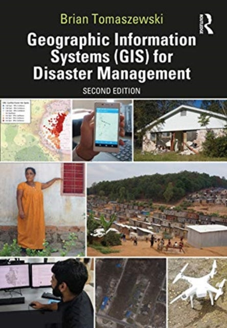
The second edition of Geographic Information Systems (GIS) for Disaster Management has been updated to include new developments in the field, such as allied technologies, technical exercises, case studies, and interviews with experts. It is a valuable teaching tool for undergraduate and graduate instructors and disaster management and humanitarian professionals.
Format: Hardback
Length: 454 pages
Publication date: 28 October 2020
Publisher: Taylor & Francis Ltd
Geographic Information Systems (GIS) for Disaster Management, now in its second edition, has undergone a comprehensive update to reflect the latest advancements in the field. This textbook, renowned for its first edition, adopts a hands-on approach rooted in relevant GIS and disaster management theory and practice. It serves as a valuable resource for students, providing comprehensive coverage of GIS fundamentals applied to disaster management. Through real-life case studies, the textbook showcases the practical application of GIS concepts across the entire disaster management cycle. The learning-by-example approach enables readers to understand how GIS for disaster management operates at local, state, national, and international scales, encompassing government, private sector, non-governmental organizations, and volunteer groups.
In this updated edition, the book introduces several notable enhancements. A dedicated chapter explores allied technologies, encompassing remote sensing, Global Positioning Systems (GPS), indoor navigation, and Unmanned Aerial Systems (UAS). Thirteen new technical exercises have been added to supplement theoretical and practical chapter discussions, further reinforcing the concepts learned. The boxed text and other pedagogical features have been enhanced to offer readers even more practical advice and guidance. The examination of new forms of global disaster faced by society is included, as well as a discussion of emerging commercial and open-source GIS technology and techniques such as machine learning and the Internet of Things. Interviews with subject-matter and industry experts provide valuable insights into GIS for disaster management practices in the United States and abroad. Additionally, career advice is provided to assist students in securing their first job in the industry.
Geographic Information Systems (GIS) for Disaster Management remains an invaluable teaching tool for undergraduate and graduate instructors in the disaster management and GIS fields, as well as disaster management and humanitarian professionals. Its comprehensive coverage, practical approach, and real-world examples make it an essential resource for advancing knowledge and skills in this critical area.
Weight: 1058g
Dimension: 185 x 260 x 35 (mm)
ISBN-13: 9781138489868
Edition number: 2 New edition
UK and International shipping information
UK and International shipping information
We deliver throughout the United Kingdom and to 128 countries and territories worldwide, including the United States, Australia, Canada, Germany, Spain and France.