Shulph Ink
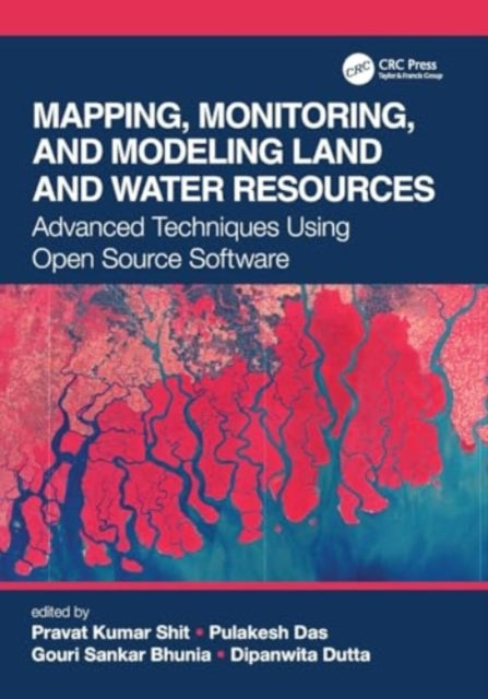
Mapping, Monitoring, and Modeling Land and Water Resources: Advanced Techniques Using Open Source Software
Mapping, Monitoring, and Modeling Land and Water Resources: Advanced Techniques Using Open Source Software
YOU SAVE £4.48
- Condition: Brand new
- UK Delivery times: Usually arrives within 2 - 3 working days
- UK Shipping: Fee starts at £3.89. Subject to product weight & dimension
Bulk ordering. Want 15 or more copies? Get a personalised quote and bigger discounts. Learn more about bulk orders.
Couldn't load pickup availability
- More about Mapping, Monitoring, and Modeling Land and Water Resources: Advanced Techniques Using Open Source Software
Format: Paperback / softback
Length: 348 pages
Publication date: 27 May 2024
Publisher: Taylor & Francis Ltd
This book brings together real-world case studies accurately surveyed and assessed through spatial modeling and focuses on the effectiveness of combining remote sensing, GIS, and R. The use of open source software, remote sensing, and GIS, help researchers and practitioners to better understand the phenomena and the prediction of future analyses.
Weight: 644g
Dimension: 253 x 178 x 26 (mm)
ISBN-13: 9781032019925
UK and International shipping information
UK and International shipping information
We deliver throughout the United Kingdom and to 128 countries and territories worldwide, including the United States, Australia, Canada, Germany, Spain and France.