
Shulph Ink
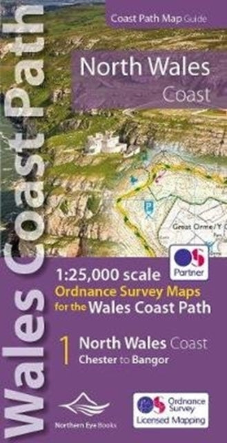
North Wales Coast Path Map: 1:25,000 scale Ordnance Survey mapping for the Wales Coast Path
North Wales Coast Path Map: 1:25,000 scale Ordnance Survey mapping for the Wales Coast Path
YOU SAVE £2.76
- Condition: Brand new
- UK Delivery times: Usually arrives within 2 - 3 working days
- UK Shipping: Fee starts at £3.89. Subject to product weight & dimension
Bulk ordering. Want 15 or more copies? Get a personalised quote and bigger discounts. Learn more about bulk orders.
Couldn't load pickup availability
- More about North Wales Coast Path Map: 1:25,000 scale Ordnance Survey mapping for the Wales Coast Path
This book covers the North Wales section of the Wales Coast Path in a handy atlas format, with enhanced large scale Ordnance Survey mapping and on-map symbols for amenities.
Format: Paperback / softback
Length: 48 pages
Publication date: 07 March 2022
Publisher: Northern Eye Books
One of seven convenient, lightweight, pocket-sized map books covering the entire 870-mile/1,400-kilometer Wales Coast Path. This volume covers North Wales from Chester to Bangor and includes enhanced large-scale (1:25,000) Ordnance Survey mapping in a handy atlas format, with extracts from large-scale Explorer maps 266, 265, 264, and OL17. The official route of the Wales Coast Path is highlighted, and on-map symbols show amenities at major towns and villages. There is an introduction and additional useful information.
Dimension: 215 x 107 (mm)
ISBN-13: 9781908632586
UK and International shipping information
UK and International shipping information
We deliver throughout the United Kingdom and to 128 countries and territories worldwide, including the United States, Australia, Canada, Germany, Spain and France.