Philip's Maps
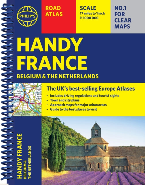
Philip's Handy Road Atlas France, Belgium and The Netherlands: Spiral A5
Philip's Handy Road Atlas France, Belgium and The Netherlands: Spiral A5
💎 Earn 24 Points (£0.24) on this item.
YOU SAVE £2.05
- Condition: Brand new
- UK Delivery times: Usually arrives within 2 - 3 working days
- UK Shipping: Fee starts at £3.89. Subject to product weight & dimension
Bulk ordering. Want 15 or more copies? Get a personalised quote and bigger discounts. Learn more about bulk orders.
Couldn't load pickup availability
- More about Philip's Handy Road Atlas France, Belgium and The Netherlands: Spiral A5
Format: Spiral bound
Length: 64 pages
Publication date: 02 January 2025
Publisher: Octopus Publishing Group
Philip's Handy Road Atlas of France, Belgium and The Netherlands features new digital cartography from Philip's - voted Britain's clearest and most detailed European mapping in an independent consumer survey. This compact A5 atlas with lie-flat binding is perfect for travelling across France and the surrounding countries.
Weight: 114g
Dimension: 210 x 160 x 9 (mm)
ISBN-13: 9781849077040
UK and International shipping information
UK and International shipping information
We deliver throughout the United Kingdom and to 128 countries and territories worldwide, including the United States, Australia, Canada, Germany, Spain and France.