Shulph Ink
Protecting the People: GIS for Law Enforcement
Protecting the People: GIS for Law Enforcement
💎 Earn 68 Points (£0.68) on this item.
YOU SAVE £4.20
- Condition: Brand new
- UK Delivery times: Usually arrives within 2 - 3 working days
- UK Shipping: Fee starts at £3.89. Subject to product weight & dimension
Bulk ordering. Want 15 or more copies? Get a personalised quote and bigger discounts. Learn more about bulk orders.
Couldn't load pickup availability
- More about Protecting the People: GIS for Law Enforcement
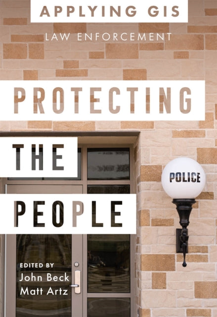
Protecting the People: GIS for Law Enforcement showcases real-life stories of law enforcement agencies using GIS to fight crime, improve operations, and engage citizens. It provides ideas and resources to help jump-start GIS implementation in law enforcement.
Format: Paperback / softback
Length: 114 pages
Publication date: 01 November 2022
Publisher: ESRI Press
Protecting the People: GIS for Law Enforcement delves into a compelling collection of real-life stories showcasing law enforcement agencies' successful utilization of Geographic Information Systems (GIS) for crime analysis, open policing, and field mobility. Through these captivating narratives, this book vividly illustrates how police departments and law enforcement organizations harness the power of GIS to enable data-driven crime-analysis strategies and inform decision-making in their daily operations.
The case studies featured in this book encompass a range of topics, including:
Understanding Data and Crime Analysis: Gain insights into how GIS can be used to analyze crime data, identify patterns, and inform decision-making processes.
Streamlining Improvements to Police Operations: Explore innovative methods and technologies that GIS has enabled law enforcement agencies to streamline their operations, enhance efficiency, and improve response times.
Developing Methods for Engaging Citizens: Discover how GIS can be employed to engage citizens in crime prevention, community policing, and public safety initiatives.
The book also includes a comprehensive section on "Next Steps," offering valuable ideas, strategies, tools, and actions to help jump-start your own GIS for law enforcement endeavors. Additionally, a wealth of online resources, including additional stories, videos, innovative concepts, and downloadable tools and content, complements this comprehensive guide.
By exploring the intersection of location intelligence and the geographic approach, Protecting the People: GIS for Law Enforcement empowers law enforcement professionals and community leaders to leverage the power of GIS to enhance crime analysis, streamline operations, and promote community policing initiatives. Uncover the transformative potential of GIS in modern law enforcement and take the first step towards building safer and more resilient communities.
Weight: 178g
Dimension: 140 x 202 x 9 (mm)
ISBN-13: 9781589487291
UK and International shipping information
UK and International shipping information
We deliver throughout the United Kingdom and to 128 countries and territories worldwide, including the United States, Australia, Canada, Germany, Spain and France.