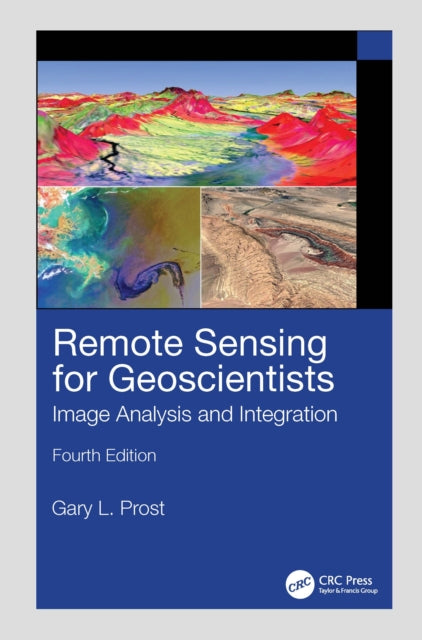
Gary L. Prost
Remote Sensing for Geoscientists: Image Analysis and Integration
Remote Sensing for Geoscientists: Image Analysis and Integration
💎 Earn 991 Points (£9.91) on this item.
We can order this item for you. Delivery usually takes about 4 to 6 weeks.
This item is not held in our immediate stock. We will order it for you after checkout.
Estimated delivery: About 4 to 6 weeks
YOU SAVE £11.76
- Condition: Brand new
- UK Delivery times: Usually arrives within 2 - 3 working days
- UK Shipping: Fee starts at £3.89. Subject to product weight & dimension
Bulk ordering. Want 15 or more copies? Get a personalised quote and bigger discounts. Learn more about bulk orders.
Couldn't load pickup availability
- More about Remote Sensing for Geoscientists: Image Analysis and Integration
Format: Hardback
Length: 666 pages
Publication date: 16 June 2025
Publisher: Taylor & Francis Ltd
The new edition of the bestselling Remote Sensing for Geoscientists: Image Analysis and Integration expands the scope of remote sensing to cover image systems that did not exist 10 years ago when the third edition was published. It is thoroughly updated and provides examples of new capabilities using Google Earth© and various apps.
Weight: 1440g
Dimension: 254 x 178 (mm)
ISBN-13: 9781041020066
Edition number: 4 ed
UK and International shipping information
UK and International shipping information
We deliver throughout the United Kingdom and to 128 countries and territories worldwide, including the United States, Australia, Canada, Germany, Spain and France.