
Ange Harker
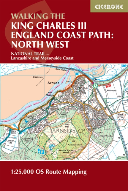
Walking the King Charles III England Coast Path: North West - Lancashire and Merseyside Map Booklet: 1:25,000 OS Route Map Booklet
Walking the King Charles III England Coast Path: North West - Lancashire and Merseyside Map Booklet: 1:25,000 OS Route Map Booklet
YOU SAVE £4.09
- Condition: Brand new
- UK Delivery times: Usually arrives within 2 - 3 working days
- UK Shipping: Fee starts at £3.89. Subject to product weight & dimension
Bulk ordering. Want 15 or more copies? Get a personalised quote and bigger discounts. Learn more about bulk orders.
Couldn't load pickup availability
- More about Walking the King Charles III England Coast Path: North West - Lancashire and Merseyside Map Booklet: 1:25,000 OS Route Map Booklet
Format: Paperback / softback
Length: 88 pages
Publication date: 12 September 2025
Publisher: Cicerone Press
Map of the southern section of the 590km (367 mile) England Coast Path: North West National Trail. Covers the trail between Arnside and the Welsh border along the Lancashire and Merseyside coastline. This compact booklet of OS 1:25,000 maps shows the route, providing all of the mapping you need to walk the trail in either direction.
Dimension: 172 x 116 x 6 (mm)
ISBN-13: 9781786310415
UK and International shipping information
UK and International shipping information
We deliver throughout the United Kingdom and to 128 countries and territories worldwide, including the United States, Australia, Canada, Germany, Spain and France.